
Reach, village in the United Kingdom
Location: East Cambridgeshire
Website: http://reach-village.co.uk
GPS coordinates: 52.27000,0.30000
Latest update: March 6, 2025 21:30

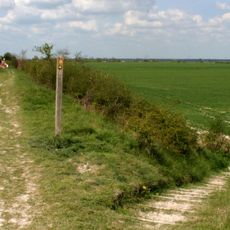
Devil's Dyke
189 m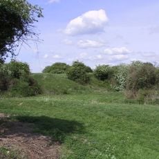
Burwell Castle
1.7 km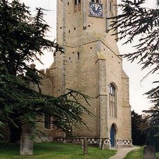
Church of St Cyriac and St Julitta, Swaffham Prior
2.1 km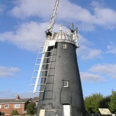
Burwell Museum
2.1 km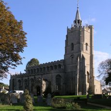
Church of St Mary the Virgin
1.9 km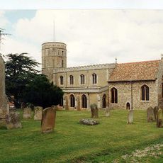
Church of St Mary
2.1 km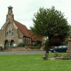
Church of St Etheldreda and The Holy Trinity
385 m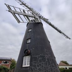
Burwell Museum and Windmill
2 km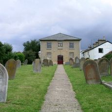
Burwell Baptist Chapel
2.4 km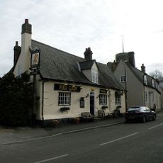
Red Lion Public House
2 km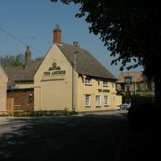
The Anchor
2.3 km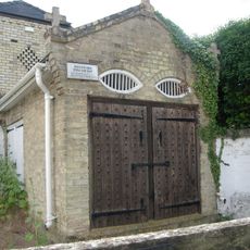
Pound, Lock Up And Fire Engine House
1.9 km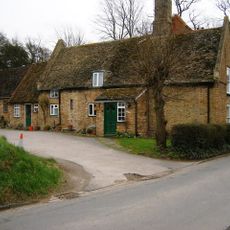
Shenstone House
2.3 km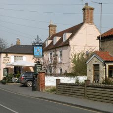
Five Bells
1.9 km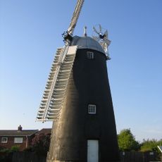
Stevens Mill
2 km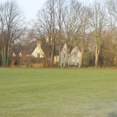
Tan House
1.8 km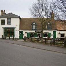
The Fox
2 km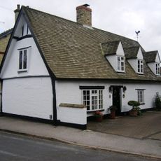
Oak Farm
2.1 km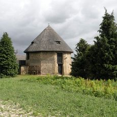
Mill To North Of Meltons Farmhouse
2.2 km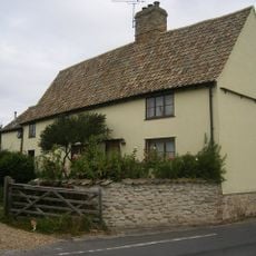
121, North Street
2.8 km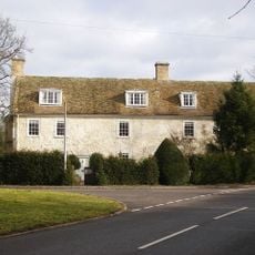
Isacsons
2 km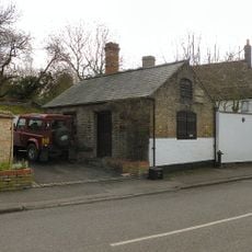
The Forge
1.9 km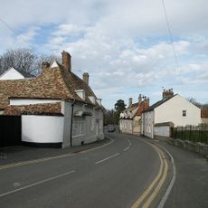
Well House
2.1 km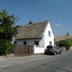
119, North Street
2.7 km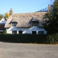
Hythe House
1.9 km
War Memorial
381 m
Windmill, To Rear Of The Mill House
1.8 km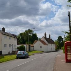
K6 Telephone Kiosk
1.9 kmVisited this place? Tap the stars to rate it and share your experience / photos with the community! Try now! You can cancel it anytime.
Discover hidden gems everywhere you go!
From secret cafés to breathtaking viewpoints, skip the crowded tourist spots and find places that match your style. Our app makes it easy with voice search, smart filtering, route optimization, and insider tips from travelers worldwide. Download now for the complete mobile experience.

A unique approach to discovering new places❞
— Le Figaro
All the places worth exploring❞
— France Info
A tailor-made excursion in just a few clicks❞
— 20 Minutes