
Roade, village and civil parish in Northamptonshire, United Kingdom
Location: West Northamptonshire
GPS coordinates: 52.15600,-0.89700
Latest update: March 2, 2025 20:07
Stoke Park Pavilions
3.1 km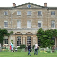
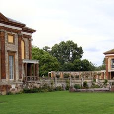
Courteenhall House
1.8 km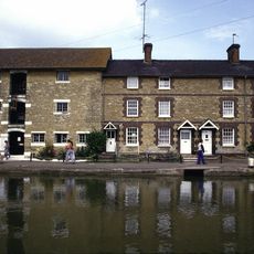
Stoke Bruerne Canal Museum
1.9 km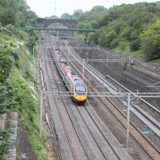
Roade Cutting
1.3 km
Stoke Bruerne Brick Pits
2.2 km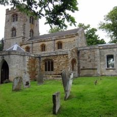
Church of St John the Baptist
3.6 km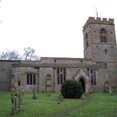
Church of St Peter and St Paul
1.7 km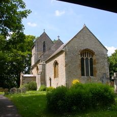
Church of St Michael and All Angels
1.7 km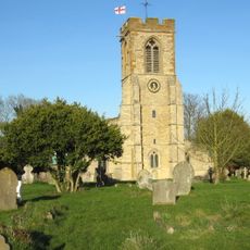
Church of St Mary the Virgin
2.2 km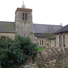
Church of St Mary the Virgin
474 m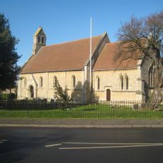
Church of St John the Baptist
3.1 km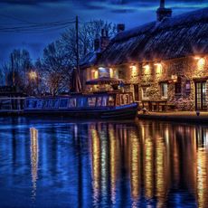
The Boat Inn
2 km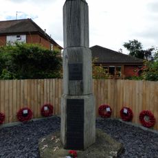
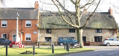
Hartwell War Memorial
3.1 km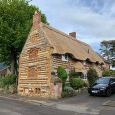
Thackstone Cottage
3.5 km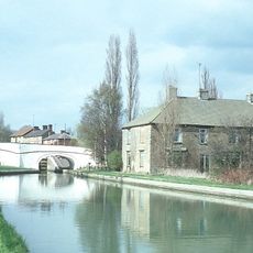
Bridge Number 53
2 km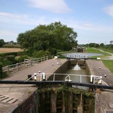
Lock Number 17
2.3 km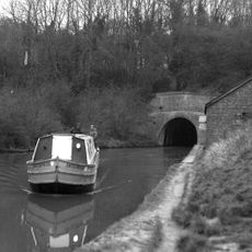
South Portal Of Blisworth Tunnel
2 km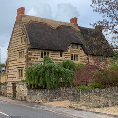
Stoneacre
3.5 km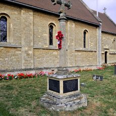
Hartwell War Memorial
3.2 km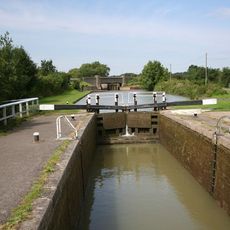
Lock Number 19
2.5 km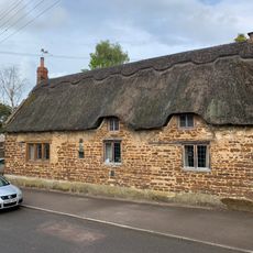
31, Stoke Road
3.4 km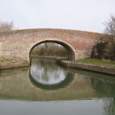
Grand Union Canal Bridge Number 56 At Sp 762 480
3.5 km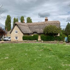
The Dower House
2 km
The Welland
1.8 km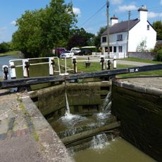
Lock Number 20 Stoke Bottom Lock
2.6 km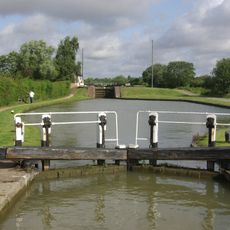
Lock Number 16
2.2 km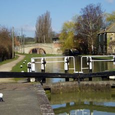
Lock Number 15
2.1 km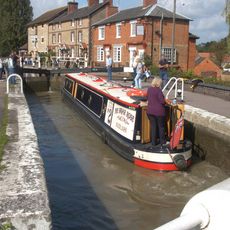
Lock Number 14 Stoke Top Lock
2 kmVisited this place? Tap the stars to rate it and share your experience / photos with the community! Try now! You can cancel it anytime.
Discover hidden gems everywhere you go!
From secret cafés to breathtaking viewpoints, skip the crowded tourist spots and find places that match your style. Our app makes it easy with voice search, smart filtering, route optimization, and insider tips from travelers worldwide. Download now for the complete mobile experience.

A unique approach to discovering new places❞
— Le Figaro
All the places worth exploring❞
— France Info
A tailor-made excursion in just a few clicks❞
— 20 Minutes