
Fillongley, village and civil parish in Warwickshire, England, United Kingdom
Location: North Warwickshire
Website: http://community-council.org.uk/Fillongley
GPS coordinates: 52.48200,-1.58800
Latest update: March 7, 2025 08:53
Maxstoke Priory
4.6 km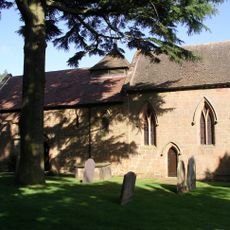
Church of St Mary
2.9 km
Church of St Wilfred
3.4 km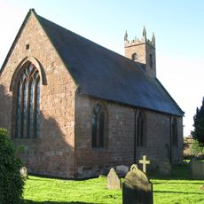
Church of St Michael and All Angels
4.5 km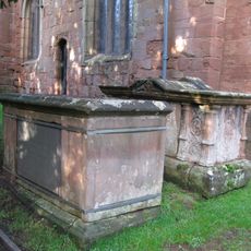
5 Table Tombs South And East Of Chancel And South Of Nave, Churchyard Of Church Of St Mary And All Saints
47 m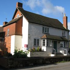
Butchers Public House
38 m
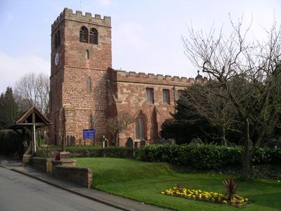
Church of St Mary and All Saints
35 m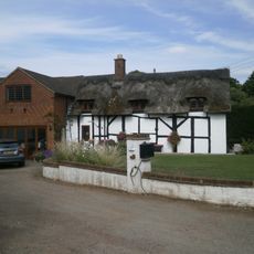
Didgley Cottage
623 m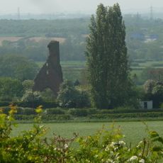
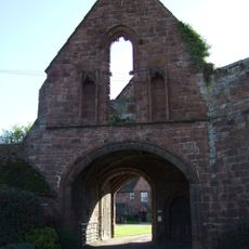
Remains of Tower and Walls of Monastic Church Approximately 250 Metres South of Priory Farmhouse
4.6 km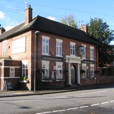
The Manor Public House
106 m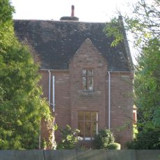
The Old Rectory
4.7 km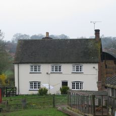
Berryfields Farmhouse
552 m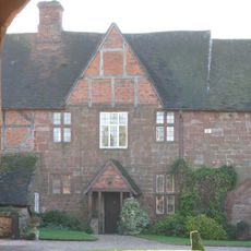
Priory Farmhouse
4.6 km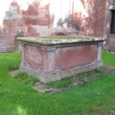
Chest Tomb, 2 Metres South Of South West Corner Of Nave, Church Of St Mary And All Saints
34 m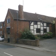
Alpha House
51 m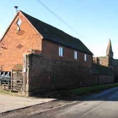
Outer Gatehouse and Attached Precinct Walls and Barn 200 Metres North of Priory Farmhouse
4.6 km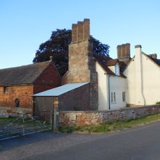
Stable Block, At Colliers Oak Farm
2.4 km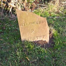
Milepost Approximately 12 Metres North West Of Slowley Green Cottage (Not Included)
3 km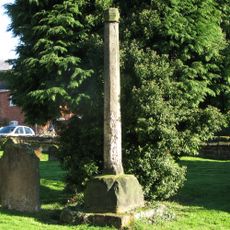
Churchyard cross, St Michael's churchyard
4.5 km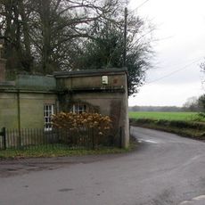
The Lodge At Fillongley Hall
1.3 km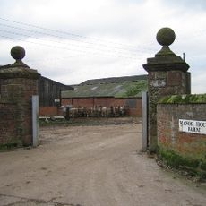
Gatepier, West Side Of Entrance To Manor House Farm
1.3 km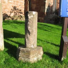
Part Of Churchyard Cross, 6 Metres South Of South West Corner Of Tower Of Church Of St Mary And All Saints
37 m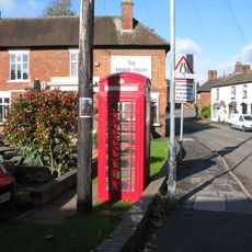
K6 Telephone Kiosk
126 m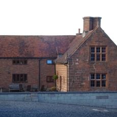
Stone House Farmhouse
2 km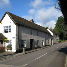
Fillongley Butchers, 20 Metres North Of Butchers Public House
35 m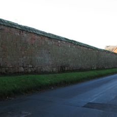
Precinct Wall, East of Outer Gatehouse and Bounding Churchyard of St Michael and All Saints on the West
4.5 km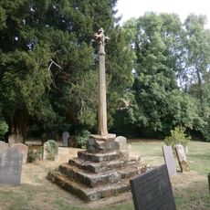
Churchyard Cross, 10 Metres South Of Church Of St Mary And All Saints
48 m
Gate Pier, East Side Of Entrance To Manor House Farm
1.2 kmVisited this place? Tap the stars to rate it and share your experience / photos with the community! Try now! You can cancel it anytime.
Discover hidden gems everywhere you go!
From secret cafés to breathtaking viewpoints, skip the crowded tourist spots and find places that match your style. Our app makes it easy with voice search, smart filtering, route optimization, and insider tips from travelers worldwide. Download now for the complete mobile experience.

A unique approach to discovering new places❞
— Le Figaro
All the places worth exploring❞
— France Info
A tailor-made excursion in just a few clicks❞
— 20 Minutes