
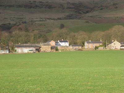
Cumrew, village and civil parish in Cumbria, United Kingdom
Location: Carlisle
Part of: Carlatton and Cumrew
GPS coordinates: 54.84627,-2.70101
Latest update: March 7, 2025 22:42
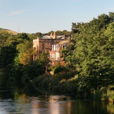
Armathwaite Castle
6.4 km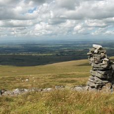
Cold Fell
7.6 km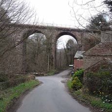
Gelt Bridge
7.2 km
Geltsdale RSPB reserve
9.8 km
Tarn House
9.8 km
Talkin Church
6.9 km
Church of St Mary Magdalen, Hayton
8.5 km
Church of St Thomas a Becket
9.7 km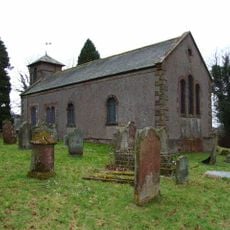
Church of St Peter
5.1 km
Church of St Michael
4.2 km
Church of St John the Baptist
3.9 km
Church of St Mary
73 m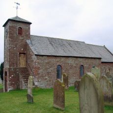
Church of St Mary
4.8 km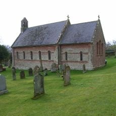
All Saint's Church
8.2 km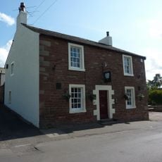
The Stone Inn
8.5 km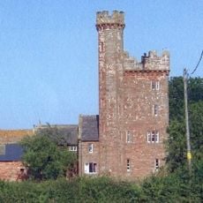
Toppin Castle
8.6 km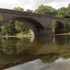
Armathwaite Bridge
6.2 km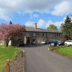
Farlam Hall
9.9 km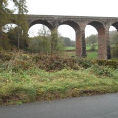
Drybeck Viaduct
4.9 km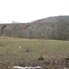
Armathwaite Viaduct
7.3 km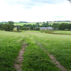
Croglin Low Hall
5.4 km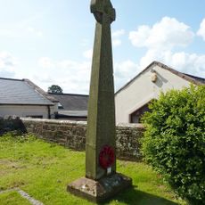
Hayton War Memorial
8.5 km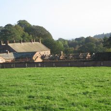
The Nunnery
7.7 km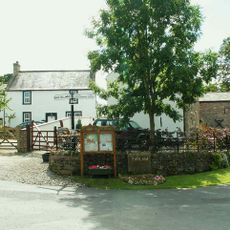
Guide Post North Of Farlam Farm At Ngr Ny 55545 58822
8.5 km
Wall And Gate Piers To East Of Corby Castle
8.7 km
Fenton Farmhouse
7.4 km
Norman House
8.5 km
The Old Pele And Rectory Farmhouse And Barn
4 kmVisited this place? Tap the stars to rate it and share your experience / photos with the community! Try now! You can cancel it anytime.
Discover hidden gems everywhere you go!
From secret cafés to breathtaking viewpoints, skip the crowded tourist spots and find places that match your style. Our app makes it easy with voice search, smart filtering, route optimization, and insider tips from travelers worldwide. Download now for the complete mobile experience.

A unique approach to discovering new places❞
— Le Figaro
All the places worth exploring❞
— France Info
A tailor-made excursion in just a few clicks❞
— 20 Minutes