
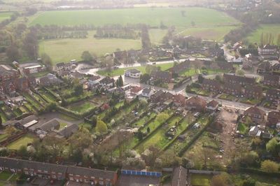
Great Wyrley, village in Staffordshire, England, UK
Location: South Staffordshire
Shares border with: Bridgtown
GPS coordinates: 52.65930,-2.01020
Latest update: March 11, 2025 01:13
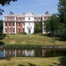
Hilton Hall
4.5 km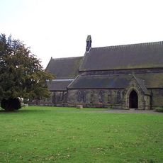
St Mark's
1.2 km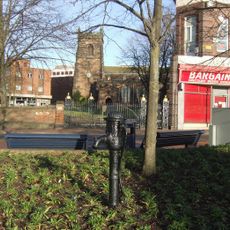
St Luke's Church, Cannock
3.5 km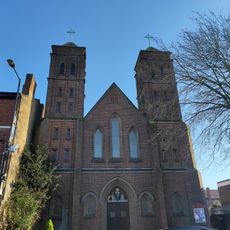
St Peter's Roman Catholic Church, Bloxwich
4.8 km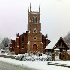
St. Michael and All Angels Pelsall Parish Church
4.6 km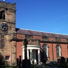
Church of St Mary and St Luke
5 km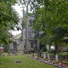
Church of St James
1.9 km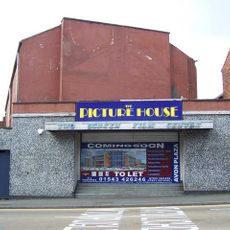
Cannock Cinema
954 m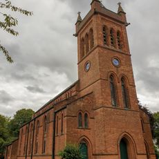
Church of All Saints
4.9 km
Cross Approximately 10 Metres South Of Church Of All Saints
5 km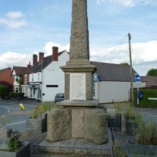
Cheslyn Hay War Memorial
1.5 km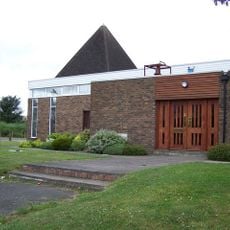
St Andrew's Church
516 m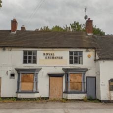
Royal Exchange Public House
4.2 km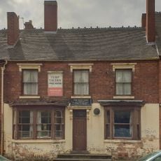
The Turf Tavern Public House And Attached Brewhouse
4.5 km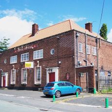
Crystal Fountain Public House
3.2 km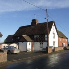
High View Cottage And Farm Cottage And Attached Barn
4.6 km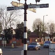
Fingerpost
3.9 km
Bloxwich Golf Club Clubhouse
3.4 km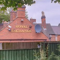
Former Brewhouse Adjoining To East Of Royal Exchange Public House
4.2 km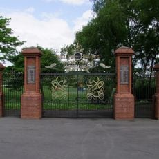
Heath Hayes War Memorial Gates
3.8 km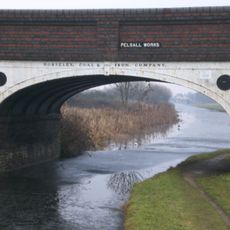
Pelsall Works Bridge Wryley Essington Canal Pelsall Works Bridge
3.2 km
Yieldfields Hall Farmhouse
3 km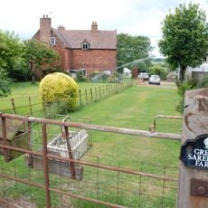
Great Saredon Farmhouse
4.8 km
Wyrley And Essington Canal Footbridge At Pelsall Junction
3.5 km
The Romping Cat
4.6 km
Railings And Gates At South Side Of St Luke's Churchyard
3.5 km
Cannock War Memorial
3.6 km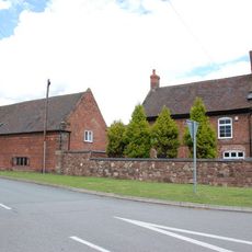
Saredon Hall Farmhouse And Attached Cowhouse
4.3 kmVisited this place? Tap the stars to rate it and share your experience / photos with the community! Try now! You can cancel it anytime.
Discover hidden gems everywhere you go!
From secret cafés to breathtaking viewpoints, skip the crowded tourist spots and find places that match your style. Our app makes it easy with voice search, smart filtering, route optimization, and insider tips from travelers worldwide. Download now for the complete mobile experience.

A unique approach to discovering new places❞
— Le Figaro
All the places worth exploring❞
— France Info
A tailor-made excursion in just a few clicks❞
— 20 Minutes