Thorington, village in the United Kingdom
Location: Suffolk Coastal
Location: East Suffolk
GPS coordinates: 52.31250,1.54900
Latest update: May 5, 2025 18:09
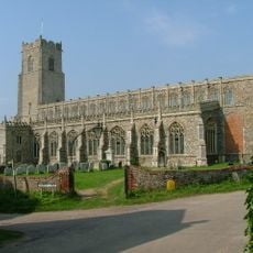
Holy Trinity Church, Blythburgh
3.3 km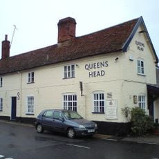
Queen's Head
2.1 km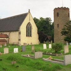
St Andrew's Church, Bramfield
2.1 km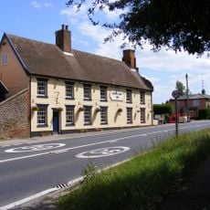
White Hart Inn
3.5 km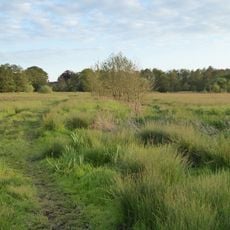
Darsham Marshes
5 km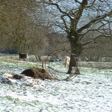
Church Farm Marshes
286 m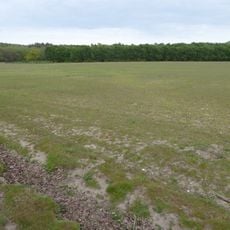
Potton Hall Fields, Westleton
5.1 km
Dew's Ponds
3.9 km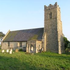
Church of All Saints
2.6 km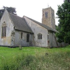
Church of St Peter
1.4 km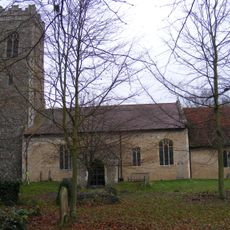
Church of All Saints
4.3 km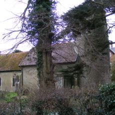
St Peter's Church, Thorington
282 m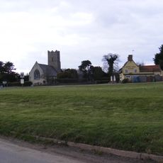
Queen's Head Inn
2.6 km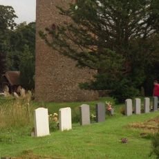
Tower Of St Andrews Church
2.2 km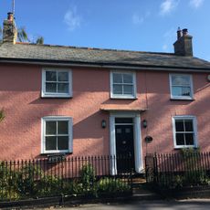
Forge Cottage (Including Railings And Boundary Walling To Priory Road)
3.4 km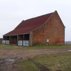
Highfield Barn, Westleton
4.2 km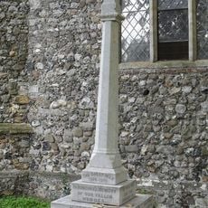
Darsham War Memorial
4.3 km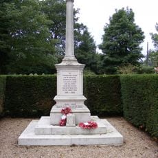
Wenhaston War Memorial
1.4 km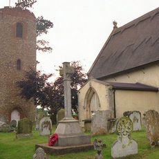
Bramfield War Memorial
2.1 km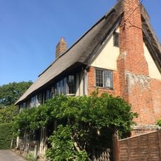
The Green
3.3 km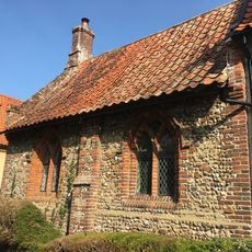
The Priory
3.4 km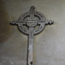
Lt R. Asquith Battlefield Cross, Mells, Somerset
3.2 km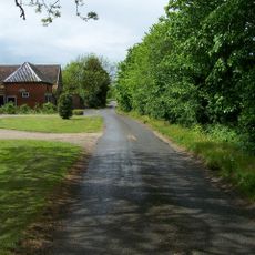
Red House Farmhouse, Westleton
4 km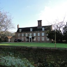
The Grange
3.7 km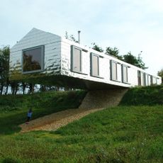
Balancing Barn
303 m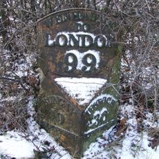
Milestone, Mells
2.7 km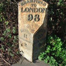
Milestone, Bramfield, North end of village
2.1 km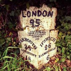
Milepost, by White House Farm
4 kmVisited this place? Tap the stars to rate it and share your experience / photos with the community! Try now! You can cancel it anytime.
Discover hidden gems everywhere you go!
From secret cafés to breathtaking viewpoints, skip the crowded tourist spots and find places that match your style. Our app makes it easy with voice search, smart filtering, route optimization, and insider tips from travelers worldwide. Download now for the complete mobile experience.

A unique approach to discovering new places❞
— Le Figaro
All the places worth exploring❞
— France Info
A tailor-made excursion in just a few clicks❞
— 20 Minutes