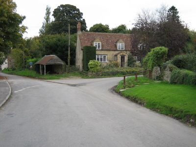
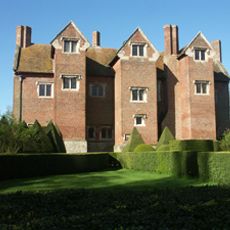
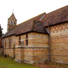
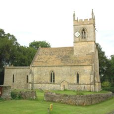
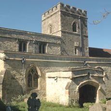
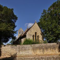
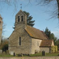
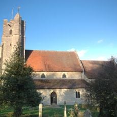
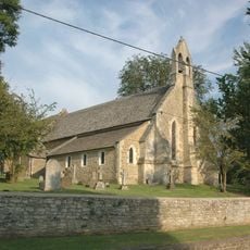
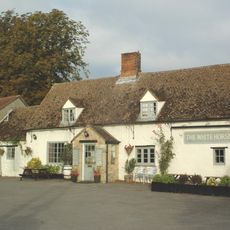
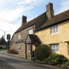
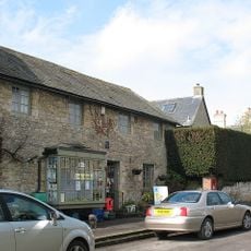
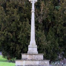
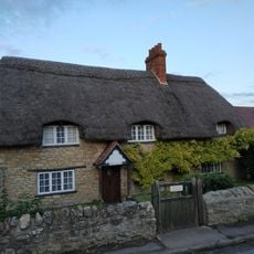
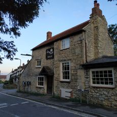
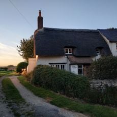
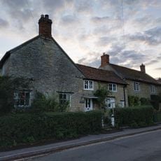
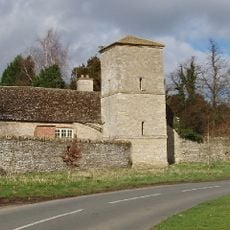
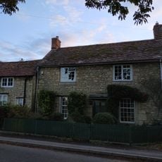
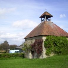
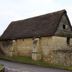
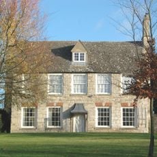
Beckley and Stowood, civil parish in South Oxfordshire district, Oxfordshire, England
Location: South Oxfordshire
Shares border with: Fencott and Murcott, Woodeaton, Elsfield, Oxford, Stanton St. John, Horton-cum-Studley, Noke
GPS coordinates: 51.80000,-1.16000
Latest update: March 9, 2025 17:57
Beckley Park
484 m
Woodperry House
1.3 km
Brasenose Wood and Shotover Hill
4.4 km
Church of St Barnabas
1.6 km
Church of the Holy Rood, Woodeaton
4.5 km
Church of the Assumption of the Blessed Virgin Mary
1.8 km
Church of St Nicholas
4.1 km
Church of St Giles
3.9 km
Church of St John the Baptist
2.2 km
Church of St Thomas A Beckett
4.3 km
The White Horse Public House
3.7 km
The Star Inn Public House
2.6 km
Village Stores And Post Office And Adjoining House
2.4 km
Stanton St John War Memorial
2.2 km
Hope Cottage
3.8 km
The Kings Arm's Public House
3.8 km
Merrick Cottage
3.8 km
The Abingdon Arms Public House
1.6 km
Manor House
4.3 km
Woodeaton Cross
4.5 km
Merry Cottage
3.8 km
Corner House
3.7 km
Manor House, Water Tower, Workshops And Attached Walls Approximately 70 Metres To South East
4.6 km
O'Briens
3.7 km
Home Farmhouse, Dovecote Approximately 80 Metres To East
4.2 km
Stables Approximately 40 Metres South Of Manor Farmhouse
2.2 km
Home Farmhouse
4.2 km
Milestone Approximately 98 Metres West Of Junction With Merewood Avenue
4.5 kmReviews
Visited this place? Tap the stars to rate it and share your experience / photos with the community! Try now! You can cancel it anytime.
Discover hidden gems everywhere you go!
From secret cafés to breathtaking viewpoints, skip the crowded tourist spots and find places that match your style. Our app makes it easy with voice search, smart filtering, route optimization, and insider tips from travelers worldwide. Download now for the complete mobile experience.
A unique approach to discovering new places❞
— Le Figaro
All the places worth exploring❞
— France Info
A tailor-made excursion in just a few clicks❞
— 20 Minutes