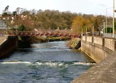
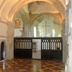
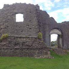
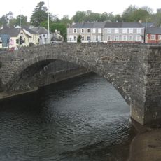
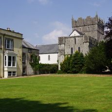
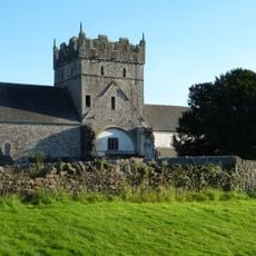
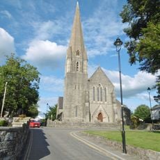
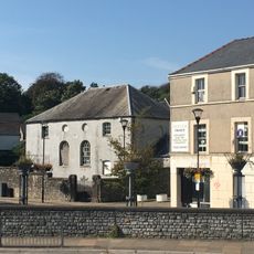
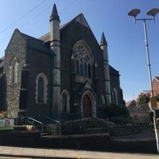
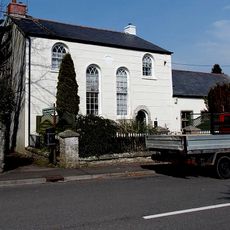
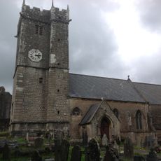
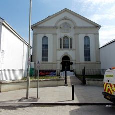
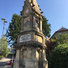
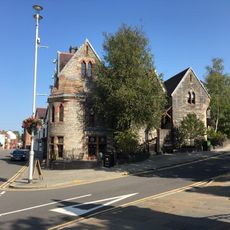
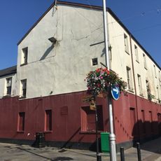
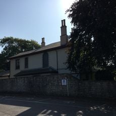
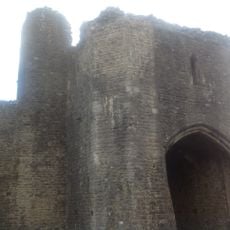
Bridgend, community in Wales
Location: Bridgend County Borough
GPS coordinates: 51.50335,-3.57860
Latest update: March 10, 2025 13:13
Ewenny Priory
1.8 km
Newcastle Castle
693 m
Old Bridge
403 m
Ewenny Priory House
1.8 km
Church Of St Michael
1.8 km
Ewenny Priory Church
1.8 km
St.Mary Nolton Church,Merthyr Mawr Road
9 m
Elim Pentecostal Church
459 m
Hope Baptist Chapel including attached vestry and schoolroom
484 m
Tŷ Capel
2.4 km
St Illtyd's Church
648 m
Hermon Calvinistic Methodist Chapel
166 m
Carnegie House
419 m
Wyndham Hotel,Dunraven Place
362 m
Hut 9 at former Prisoner of War Camp (198) and Special Camp XI, Island Farm
1.1 km
Ewenny Community Village Hall
2.4 km
Randall Memorial Drinking Fountain, Wotton Street
310 m
Former Fire Station & Post Office Van Depot
455 m
The Old Police Station
345 m
York Tavern P.H.
492 m
Ashfield, Merthyr Mawr Road
104 m
Footbridge at Bridgend Railway Station
460 m
War Memorial, Dunraven Place
394 m
No.13 Merthyr Mawr Road, Former Preswylfa Children's Home
755 m
Property to Right of Chateau Wine & Food Bar
339 m
N Tower And Attached Stretch Of Precinct Wall At Ewenny Priory (house)
1.7 km
N Gatehouse At Ewenny Priory (house)
1.8 km
W Precinct Wall At Ewenny Priory (house)
1.8 kmReviews
Visited this place? Tap the stars to rate it and share your experience / photos with the community! Try now! You can cancel it anytime.
Discover hidden gems everywhere you go!
From secret cafés to breathtaking viewpoints, skip the crowded tourist spots and find places that match your style. Our app makes it easy with voice search, smart filtering, route optimization, and insider tips from travelers worldwide. Download now for the complete mobile experience.
A unique approach to discovering new places❞
— Le Figaro
All the places worth exploring❞
— France Info
A tailor-made excursion in just a few clicks❞
— 20 Minutes