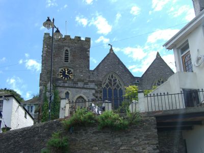
Church of St Thomas of Canterbury, Kingswear, Medieval church in Kingswear, England.
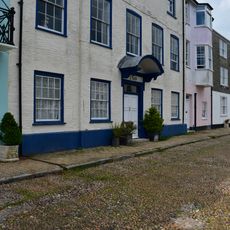
The Church of St Thomas of Canterbury in Kingswear is a parish church combining a 12th-century tower with reconstructed 19th-century walls and interior spaces that overlook the River Dart valley. It stands at the junction of Higher Street and Church Hill, displaying both its ancient stonework and later architectural updates made during the Victorian period.
This church was founded around 1170 during the Norman period and its original tower has survived to the present day. A major restoration during the 1840s rebuilt nearly the entire nave and chancel, while the medieval tower remained standing through all subsequent changes.
Named after the medieval saint Thomas of Canterbury, this church reflects a long tradition of devotion that continues in the local community today. Visitors can sense this spiritual connection when attending services or reading the commemorative inscriptions inside.
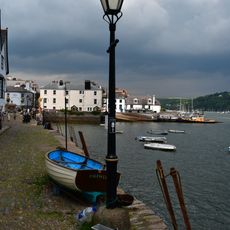
The church sits at a prominent junction in central Kingswear and is easily reached on foot from the railway station area. Its elevated location on a hillside makes orientation straightforward as you explore the adjacent burial ground and surrounding lanes.
Three bells hang in the tower, with two cast in 1599 showing Tudor-era craftsmanship, while the largest was recast in the 1930s to improve its sound. This combination of old and newer metalwork reflects how parish churches adapted their facilities across different centuries to maintain function.
The community of curious travelers
AroundUs brings together thousands of curated places, local tips, and hidden gems, enriched daily by 60,000 contributors worldwide.