Cirencester Castle, Medieval fortress site in Cirencester, England
Cirencester Castle was a Norman fortress whose earthwork foundations still occupy the land between Castle Street, Park Lane, and Black Jack Street in the town center. The defensive structure had a layout typical of 12th-century military designs, with raised banks and timber structures protecting the inner enclosure.
The fortress was built around 1141 during a period of civil war when Empress Matilda challenged King Stephen for the English throne. Within a year, Stephen captured and destroyed the castle in 1142, leaving only earthworks that survive to this day.
The castle site marks an important moment when Norman lords held power in this corner of England. Local residents still refer to the surrounding streets by names that honor this medieval stronghold.
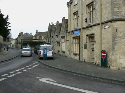
The castle site is located within the town center and can be easily explored on foot by following the street names that mark its boundaries. Wayfinding markers and information boards along Castle Street help visitors understand the layout and see where the main fortifications once stood.
Unlike the stone castles built later in England, this fortress used only earth mounds and timber walls that could be quickly constructed and abandoned. Archaeological digs have revealed the traces of these simpler structures, showing how Norman military engineers adapted their designs to local conditions and available materials.
The community of curious travelers
AroundUs brings together thousands of curated places, local tips, and hidden gems, enriched daily by 60,000 contributors worldwide.