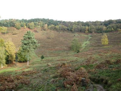
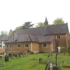
Devil's Punch Bowl, Natural valley in Hindhead, England.
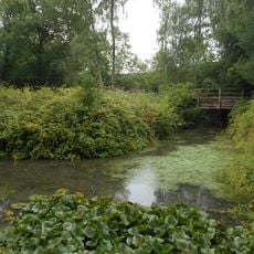
Devil's Punch Bowl is a sandstone depression in Hindhead spanning a large protected area with steep slopes. Dense heathland vegetation and gentle walking trails define the landscape of this natural formation.
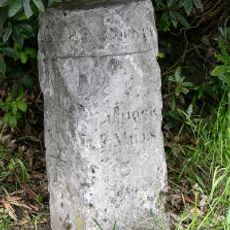
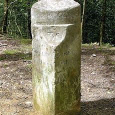
The depression formed millions of years ago through geological processes and first appeared on maps in the 17th century. Its current name comes from a 1768 cartographic record.
The name comes from an old legend about the devil creating this depression himself. The story continues to shape how people think and talk about the place.
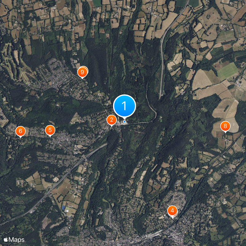
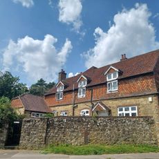
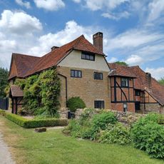
The site is maintained by the National Trust with marked walking trails and information panels at key points. Parking is available, and the terrain suits visitors of varying fitness levels.
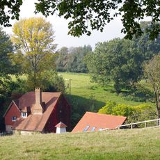
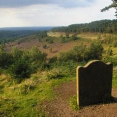
From the highest point of the site, visitors can see across the landscape to distant places on clear days. This panorama shows just how exposed and far-reaching this sandstone formation truly is.
Location: Waverley Borough Council
Accessibility: Wheelchair limited access
Phone: +441428681050
Email: hindhead@nationaltrust.org.uk
Website: https://nationaltrust.org.uk/hindhead-commons-and-the-devils-punch-bowl
GPS coordinates: 51.11423,-0.72892
Latest update: December 14, 2025 20:13
Undershaw
331 m
Church Hill House
2.7 km
Church of St Bartholomew
2.6 km
Church of St Luke
1.9 km
Church of St Joseph
2.6 km
Church of St Alban
1.5 km
Medieval moated site, South Park Farm
2.5 km
Beacon Hill War Memorial
1.5 km
St Bartholomew's Church School
2.6 km
The Robertson War Memorial Bequest Obelisk, Highcomb Copse
1.2 km
Pittlands
2.6 km
Church Hill Gate
2.7 km
Emley Farm House
2.8 km
Barn 15 Metres South West Of Emley Farm House
2.7 km
Wall And Gate Piers To St Bartholomew's Church School
2.6 km
The Celtic Cross On Gibbet Hill
895 m
United Reform Church, Hall And Manse
586 m
Walls And Lych Gate To Churchyard Of The Church Of St Bartholomew
2.6 km
Cleves
2.3 km
Branksome Conference Centre
2.3 km
Walls And Piers To East And North Of Church Hill House
2.7 km
Forecourt Wall Of Church Hill Gate
2.7 km
53 And 55, Lion Lane
2.6 km
Barn 25 Metres South Of Emley Farm House
2.7 km
Milestone Opposite West Down Lodge
1 km
The Sailor's Stone
707 m
Granary At Emley Farm
2.8 km
Milestone, Byway 500 near Gibbet Hill
895 mVisited this place? Tap the stars to rate it and share your experience / photos with the community! Try now! You can cancel it anytime.
Discover hidden gems everywhere you go!
From secret cafés to breathtaking viewpoints, skip the crowded tourist spots and find places that match your style. Our app makes it easy with voice search, smart filtering, route optimization, and insider tips from travelers worldwide. Download now for the complete mobile experience.
A unique approach to discovering new places❞
— Le Figaro
All the places worth exploring❞
— France Info
A tailor-made excursion in just a few clicks❞
— 20 Minutes