Daneway Banks SSSI, Protected nature reserve in Gloucestershire, England.
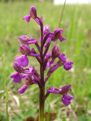
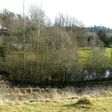
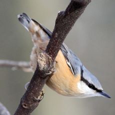
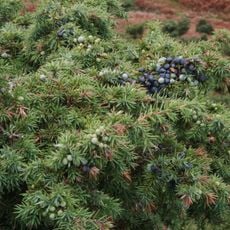
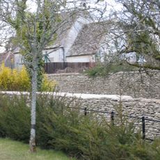
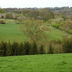
Daneway Banks is a protected reserve covering about 17 hectares with limestone grassland, woodland patches, and varied habitats across the Cotswold region. The site supports many plant and animal species, including specialized insects and rare wildflowers that thrive in these conditions.
The site was designated as a Site of Special Scientific Interest in 1954, and was officially re-evaluated in 1983 to strengthen its protected status. This re-designation acknowledged the long-term importance of the area for nature conservation.
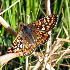
The site is managed by the Gloucestershire Wildlife Trust and the Royal Entomological Society, who share knowledge with visitors about the importance of limestone grassland ecosystems. People come here to learn about local wildlife and to see rare butterfly species in their natural habitat.
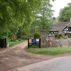
Visitors can explore the reserve on designated pathways, with spring and summer being the best times to see flowering orchids and active butterfly populations. Wearing sturdy footwear is recommended since the ground can be uneven and paths may become slippery after rain.
The site harbors rare plant species such as cut-leaved germander, which receives special legal protection due to its limited distribution in the region. This specialized plant is one of the reasons the area was recognized as scientifically valuable.
The community of curious travelers
AroundUs brings together thousands of curated places, local tips, and hidden gems, enriched daily by 60,000 contributors worldwide.