Enable Location

We need your location to show you interesting places around you

Discover nearby places

Find interesting locations and hidden gems around you

Precise directions

Get accurate directions and distances to places

Your location is never shared with other users. It's only used when you tap the location button.

Formartine and Buchan Way

Log in to your account

Start exploring — it's free

Trusted by 66,465 travelers worldwide

Continue with Google
Continue with Apple
or

We will send you a code to connect

By continuing, you accept our Terms and Conditions and our Privacy Policy

Check your inbox

We've sent a pincode in your inbox. Please enter the code below.

Formartine and Buchan Way
Discussion Reviews 1 Photos
3.5k Popularity

Formartine and Buchan Way, Long-distance trail in Aberdeenshire, Scotland.

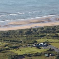
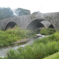
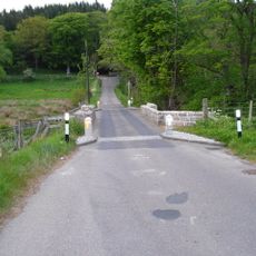
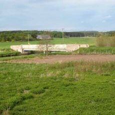
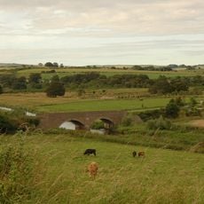
The Formartine and Buchan Way is a long-distance trail in Aberdeenshire, Scotland, running from Dyce northward to both Peterhead and Fraserburgh on the coast. It follows the bed of a former railway line, so the path is mostly flat and wide, passing through farmland, small towns, and open countryside.

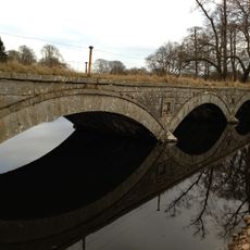
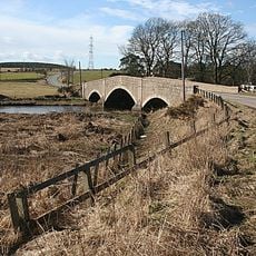
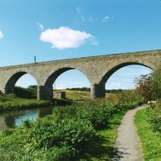
The route follows the former Formartine and Buchan Railway, which opened in 1861 to serve fishing communities and farming areas in northeast Scotland. The line closed in stages between the 1960s and 1979, and the walking path was laid out in the 1980s on the cleared trackbed.

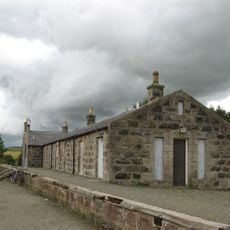
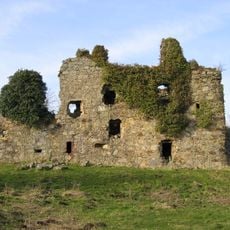
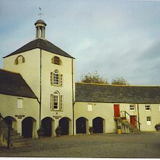
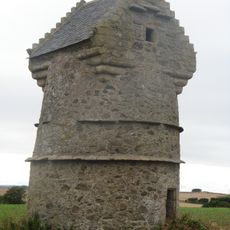
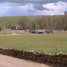
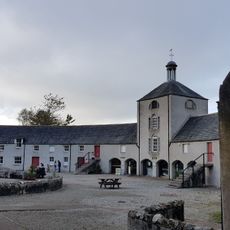
Along the route, old station buildings and former platforms are still visible in several villages, giving walkers a sense of what the railway era looked like. Local residents use the path on a daily basis, and on weekends it draws people from nearby towns for longer outings.

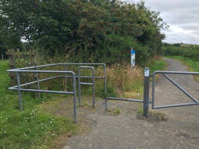
The trail can be joined at several points along the route, many of which have parking nearby, so it is easy to walk just one section at a time. Sturdy footwear is a good idea, as parts of the path can become soft and muddy after rain.

At the village of Maud, the path divides into two separate branches, one heading to Peterhead and the other to Fraserburgh, which gives the whole route a Y-shape that is unusual for a long-distance trail. This means a walker who completes both branches will have visited two different coastal towns by the end of the trip.

The community of curious travelers

AroundUs brings together thousands of curated places, local tips, and hidden gems, enriched daily by 60,000 contributors worldwide.

Start exploring
Location
GPS coordinates
57.44770,-2.11310
Latest update
March 3, 2026 13:58
Reviews
Share your experience

No review yet

Discussions
Start a discussion...

No discussion yet

« Formartine and Buchan Way - Long-distance trail in Aberdeenshire, Scotland » is provided by Around Us (aroundus.com). Images and texts are derived from Wikimedia project under a Creative Commons license. You are allowed to copy, distribute, and modify copies of this page, under the conditions set by the license, as long as this note is clearly visible.

Discover hidden gems everywhere you go!

From secret cafés to breathtaking viewpoints, skip the crowded tourist spots and find places that match your style. Our app makes it easy with voice search, smart filtering, route optimization, and insider tips from travelers worldwide. Download now for the complete mobile experience.

Around Us App Screenshot

A unique approach to discovering new places

Le Figaro

All the places worth exploring

France Info

A tailor-made excursion in just a few clicks

20 Minutes

Around Us
Travel Guide & Maps
Download

Send to your phone

QR Code
1

Open the camera app on your mobile.

2

Point at the QR code with your camera. A notification will appear.

3

Tap the notification to open the link.