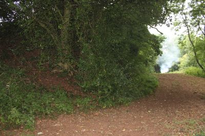
King's Castle, Iron Age hillfort near Wiveliscombe, England
King's Castle is an Iron Age hillfort near Wiveliscombe with two substantial defensive banks separated by a deep ditch. The inner and outer earthworks remain clearly visible today and shape the landscape of this elevated site.
The fortification was built during the Iron Age and controlled a borderland between two ancient tribal territories. It served as a settlement for different communities over an extended period.
Archaeological findings at the site include numerous Neolithic arrowheads, scrapers, and borers, indicating extended human presence in this location over millennia.
The site is accessible on foot and open for exploration around its earthworks and ditches. The best views of the defensive structures are visible from the northern, eastern, and southern slopes of the location.
A large cache of ancient coins was found buried in a pot beneath the surface, suggesting significant economic activity. This discovery reveals that the settlement held material wealth and may have served as a trading center.
Location: Wiveliscombe
GPS coordinates: 51.04601,-3.29001
Latest update: December 14, 2025 18:43
Church of St. Peter, Langford Budville
5.5 km
Church of St James the Less
4.3 km
Abbotsfield
2.4 km
Church of St Michael, Milverton
3.4 km
Church of St Peter, Huish Champflower
4.8 km
Langford Heathfield
4.7 km
Church of All Saints
5.5 km
Fitzhead Court and The Manor
2.5 km
Church of St Mary
4.3 km
Church of St Lawrence, Lydeard St Lawrence
5 km
Church of St Andrew
1.5 km
Church of St James the Great
2.3 km
Church of St Mary Magdalene
5.2 km
Church of St Bartholomew
4.5 km
Church of St John the Baptist
4.1 km
Milestone, About 10 Metres North-East Of Knapp Cottage At St 123 283
2.5 km
Cross in St James' churchyard
2.3 km
Hartswell House
1.8 km
Bindon House
4.2 km
Balgrove's Farmhouse And Adloining Walls To North West And South West
5.5 km
Kittisford Barton
5.4 km
Milestone At Ngr St 111 275
1.6 km
Netherfield
3.4 km
Churchyard Cross, Church Of St Andrew
1.5 km
Churchyard Cross 10 Metres South East Of Church Of St John The Baptist
4.1 km
5 And 7, The Square
1.6 km
Milestone, Preston Bowyer village
4.1 km
Milestone, triangular jct, S of Burrow Hill Farm
1.9 kmVisited this place? Tap the stars to rate it and share your experience / photos with the community! Try now! You can cancel it anytime.
Discover hidden gems everywhere you go!
From secret cafés to breathtaking viewpoints, skip the crowded tourist spots and find places that match your style. Our app makes it easy with voice search, smart filtering, route optimization, and insider tips from travelers worldwide. Download now for the complete mobile experience.
A unique approach to discovering new places❞
— Le Figaro
All the places worth exploring❞
— France Info
A tailor-made excursion in just a few clicks❞
— 20 Minutes