
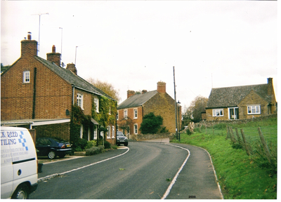
Kings Sutton, village in Northamptonshire, UK
Location: West Northamptonshire
Website: http://kingssutton.org
GPS coordinates: 52.02300,-1.27600
Latest update: March 7, 2025 04:56
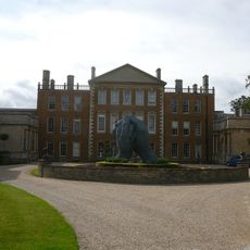
Aynhoe Park
3.6 km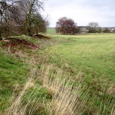
Rainsborough Camp
3.2 km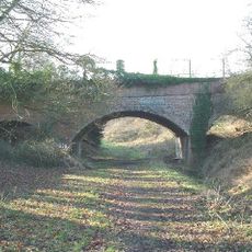
Farthinghoe Nature Reserve
4.4 km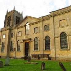
Church of St Michael, Aynho
3.7 km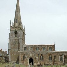
All Saints' Church, Middleton Cheney
5.7 km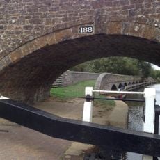
Anyho Weir Bridge Number 188, At Sp 494337 Oxford Canal
2.6 km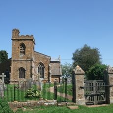
Church of St Mary
4.5 km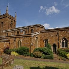
Church of St John the Baptist, Bodicote
4 km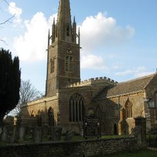
Church of St Peter and St Paul, Kings Sutton
203 m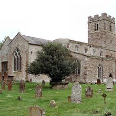
Church of St Michael, Farthinghoe
5.2 km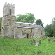
Church of St Mary, Thenford
5.6 km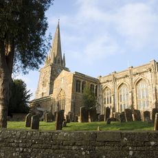
Church of St Mary, Adderbury
2.8 km
Astrop House
1.2 km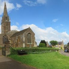
King's Sutton War Memorial
220 m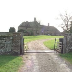
Manor House
3.8 km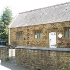
Adderbury Library
2.7 km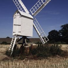
Windmill At Bloxham Grove Farm
4.1 km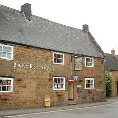
Baker's Arms Public House
4 km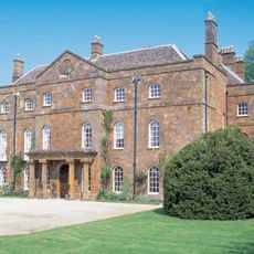
Adderbury House
2.2 km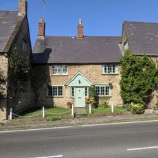
6, Round Town
3.5 km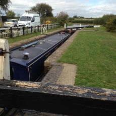
Kings Sutton Lock Oxford Canal
767 m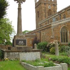
Bodicote War Memorial
4 km
Barn End
3.5 km
12, Round Town
3.6 km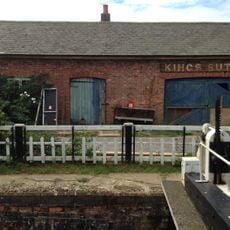
Canal Building Approximately 10 Metres West Of King's Sutton Lock Oxford Canal
776 m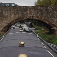
Bridge Number 190 At Aynho Wharf
4 km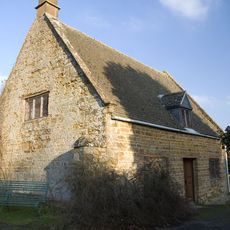
Friends Meeting House
3.4 km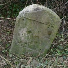
Milestone, hald mile W of village
5 kmVisited this place? Tap the stars to rate it and share your experience / photos with the community! Try now! You can cancel it anytime.
Discover hidden gems everywhere you go!
From secret cafés to breathtaking viewpoints, skip the crowded tourist spots and find places that match your style. Our app makes it easy with voice search, smart filtering, route optimization, and insider tips from travelers worldwide. Download now for the complete mobile experience.

A unique approach to discovering new places❞
— Le Figaro
All the places worth exploring❞
— France Info
A tailor-made excursion in just a few clicks❞
— 20 Minutes