King Street, Roman road in eastern England, United Kingdom
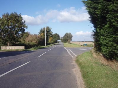
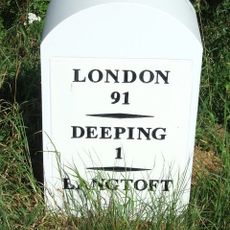
King Street is a Roman road in eastern England that runs in a straight line from Peterborough to South Kesteven, preserving the original Roman engineering throughout its course. The route passes through flat, open countryside and still follows the same path that Romans laid out nearly 2000 years ago.
The road was built in the first century during Roman rule in Britain, serving as a vital link between the settlement of Durobrivae and northern military stations. It retained its importance over centuries as people continued to use the same route for trade and travel.
The name King Street reflects its evolution from a military corridor into a trading route where merchants exchanged goods across the region. Today, the straight path through the flat landscape still shows how this route shaped the way settlements and communities developed nearby.
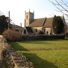
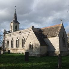
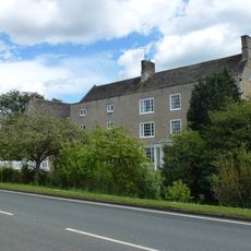
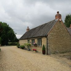
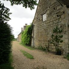
Visitors can drive along well-preserved sections between Helpston and Baston, where the road is clearly visible in the landscape. Walkers can also follow various stretches of the route on foot to experience how straight and direct the Roman path remains across the countryside.
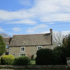
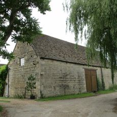
Excavations at Sapperton uncovered the remains of a fully organized Roman town beside the road, revealing how systematically the Romans planned their settlements. These discoveries show that the town and road were designed as a single economic and military system working together.
The community of curious travelers
AroundUs brings together thousands of curated places, local tips, and hidden gems, enriched daily by 60,000 contributors worldwide.