Kingsford Country Park, Country park near Kidderminster, England.
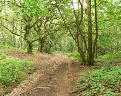
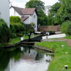
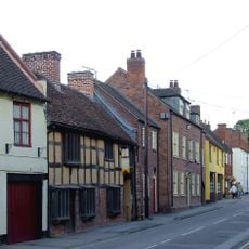
Kingsford Country Park is a woodland area near Kidderminster featuring sandstone cliffs, pine forests, broadleaf trees, and heath sections. The park is accessible via two main parking areas on Kingsford Lane and Blakeshall Lane.
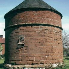
Cave dwellings carved into sandstone cliffs provided homes for local residents before the 1770s, showing how people used the landscape for shelter. The Drakelow Tunnel Complex was built underground during World War II for strategic purposes.
The four walking trails are named after local bird species - Robin, Coal Tit, Nuthatch, and Woodpecker - reflecting the variety of birds that inhabit these woods. The names help visitors connect the landscape with the wildlife they may encounter while exploring.
The park is best explored on foot, with two parking areas offering convenient starting points for your visit. The marked trails vary in length and difficulty, allowing you to choose a route that suits your pace and time.
Hidden beneath the park lies the Drakelow Tunnel Complex, constructed during World War II for strategic military purposes. The name comes from Old English words meaning Dragon Mound, blending history with the underground structure.
Location: Kingsford
GPS coordinates: 52.43640,-2.25390
Latest update: December 14, 2025 14:21
Church of St John the Baptist, Wolverley
2.8 km
Church of St Mary, Enville
4.8 km
Church of St Peter
2 km
Church of the Holy Trinity, Trimpley
5.1 km
Church of St Peter
2.4 km
Whittington Inn
2.9 km
Enville Hall
4.1 km
Kinver War Memorial
1.3 km
Staffordshire and Worcestershire Canal Pair Of Houses At Stewponey Lock
4.4 km
Rose Theatre, Kidderminster
4.4 km
Stourton Lock Number 2
4.7 km
Ye Olde White Harte
2.1 km
18, 19 And 20, High Street
2.2 km
Dovecote South Of Whittington Hall
3 km
Ye Olde Grammar School
2.3 km
Oak House, The Court House and The Old School House
2.6 km
Staffordshire And Worceshire Canal Toll House At Stewponey Lock
4.3 km
Stourbridge Canal Stourton Lock Number 1
4.9 km
Stourbridge Canal Pair Of Locks At Junction With Staffordshire And Worceshire Canal
4.5 km
The Gate House And Attached Walls And Gate Piers
4.1 km
17, High Street
2.2 km
28 And 29, High Street
2.2 km
North Lodges And Gateway Of Lea Castle
3.1 km
Coach House And Stable Block
4.1 km
Milepost, top of Stourton Bank
4 km
Milepost, S of Stowton, nr Dunsley turn
4 km
Milepost, SE of Enville village
4.2 km
Milepost, Whittington
2.9 kmVisited this place? Tap the stars to rate it and share your experience / photos with the community! Try now! You can cancel it anytime.
Discover hidden gems everywhere you go!
From secret cafés to breathtaking viewpoints, skip the crowded tourist spots and find places that match your style. Our app makes it easy with voice search, smart filtering, route optimization, and insider tips from travelers worldwide. Download now for the complete mobile experience.
A unique approach to discovering new places❞
— Le Figaro
All the places worth exploring❞
— France Info
A tailor-made excursion in just a few clicks❞
— 20 Minutes