
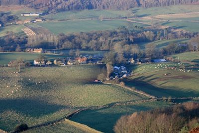
Kildale, village in United Kingdom

Gisborough Moor
2.7 km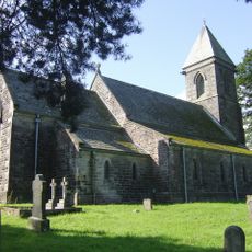
St Cuthbert's Church
2.4 km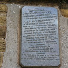
Captain Cook Monument
3.8 km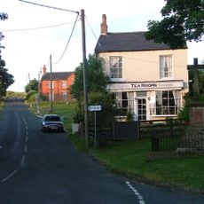
Commondale War Memorial
3.5 km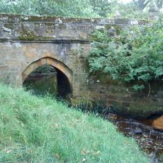
Baysdale Abbey Bridge
3 km
Percy Rigg Cross
3 km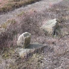
Pair Of Boundary Stones, Approximately 2025 Metres To South Of Home Lowcross At Ngr Nz599 123
3.9 km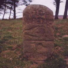
Guide Stone On North Side Of Road From Stokesley
2.9 km
Hob Cross Approximately 875 Metres To South Of Tidkinhow Farmhouse At Ngr Nz645 133
4 km
Commondale Shepherds' Memorial
2.8 km
Boundary Stone, Circa 990 Metres North East Of Skelderskew Farmhouse
4.3 km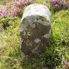
Boundary Stone West Of Path To Captain Cook Monument
3.9 km
Boundary Stone Approximately 1260 Metres To South Of Highcliff Farmhouse At Ngr Nz605 121
3.3 km
Boundary Stone, Approximately 1350 Metres To South Of Highcliff Farmhouse At Ngr Nz604 120
3.3 km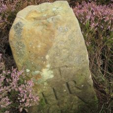
Boundary Stone, Approximately 1950 Metres To South Of Home Farmhouse Hutton Lowcross At Ngr Nz595 124
4.3 km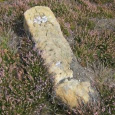
Boundary Stone Approximately 1300 Metres To South Of Highcliff Farmhouse At Ngr Nz603 121
3.5 km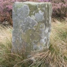
Boundary Stone, Approximately 1300 Metres To South West Of Highcliff Farmhouse At Ngr Nz600 123
3.8 km
Boundary Stone, Approximately 1310 Metres To South Of Highcliff Farmhouse At Ngr Nz605 121
3.3 km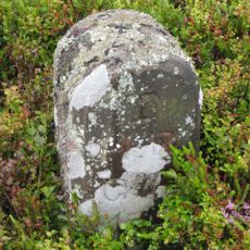
Boundary Stone East Of Path To Captain Cook Monument
3.8 km
Boundary Stone Approximately 400 Metres To South Of Highcliff Farmhouse At Ngr Nz606 119
3.2 km
Boundary Stone, Approximately 1430 Metres To South Of Highcliff Farmhouse At Ngr Nz605 119
3.2 km
Boundary Stone Approximately 550 Metres South West Of Tidkinhow Farmhouse At Ngr Nz643 137
4.3 km
Boundary Stone Approximately 1225 Metres To South Of Highcliff Farmhouse At Ngr Nz605 121
3.4 km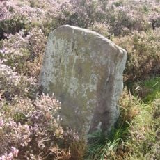
Boundary Stone Approximately 1940 Metres To South Of Home Farmhouse Hutton Lowcross At Ngr Nz595 124
4.2 km
Boundary Stone, Circa 1,020 Metres North Of Skelderskew Farmhouse
4.1 km
Boundary Stone, Circa 1,400 Metres South Of Tidkinhow Farmhouse
3.7 km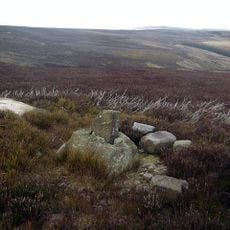
Wayside cross known as Baysdale Cross on Middle Head Intake 1000m south west of Baysdale Abbey
4.3 km
Guidestone, boundary N Yorks/Richmond & Cleveland
3.2 kmVisited this place? Tap the stars to rate it and share your experience / photos with the community! Try now! You can cancel it anytime.
Discover hidden gems everywhere you go!
From secret cafés to breathtaking viewpoints, skip the crowded tourist spots and find places that match your style. Our app makes it easy with voice search, smart filtering, route optimization, and insider tips from travelers worldwide. Download now for the complete mobile experience.

A unique approach to discovering new places❞
— Le Figaro
All the places worth exploring❞
— France Info
A tailor-made excursion in just a few clicks❞
— 20 Minutes