Chest opened
+${chestReward.xp} XP
Explorer
NOUVEAU ×${chestReward.collectible.quantity}
tapez pour fermer

See the monuments around you in AR Open chests in the app

Around Us is built for your phone — point your camera at the streets and discover the monuments and places around you in augmented reality. Around Us is built for your phone — chests unlock when you walk, explore and capture nearby places.

Enable Location

We need your location to show you interesting places around you

Discover nearby places

Find interesting locations and hidden gems around you

Precise directions

Get accurate directions and distances to places

Your location is never shared with other users. It's only used when you tap the location button.

Operation Stack

Log in to your account

Start exploring — it's free

Trusted by 83,962 travelers worldwide

Continue with Google
Continue with Apple
or

We will send you a code to connect

By continuing, you accept our Terms and Conditions and our Privacy Policy

Check your inbox

We've sent a pincode in your inbox. Please enter the code below.

Operation Stack
Discussion Reviews 1 Photos
18.3k Popularity

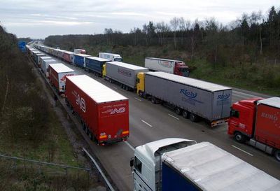
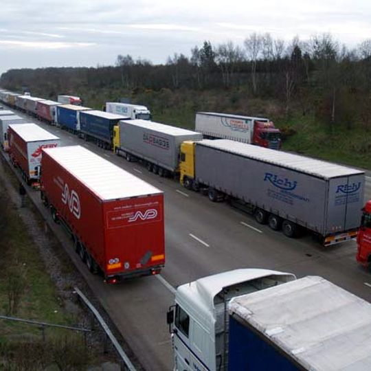
Operation Stack, Traffic management system at Port of Dover, England.

Operation Stack is a traffic management system at Dover Port that arranges heavy trucks in orderly rows along the M20 motorway between junctions 8 and 11 when port congestion occurs. The system uses both directions of the highway to temporarily hold a large number of vehicles waiting for processing.

The system was introduced in the 1980s to manage growing freight traffic crossing the English Channel and the need for organized vehicle management at Dover Port. It evolved into a standard solution for handling traffic backups when delays in channel crossings occurred.

This traffic management method reflects British organizational approaches to maintaining order during transportation disruptions along the English Channel routes.

When the system is activated, drivers must follow directions from highway officials to position their vehicle in the correct queue and wait for further instructions. Waiting times can stretch for several hours during peak traffic, so carrying adequate food and water is advisable.

The system can temporarily house up to 2,000 heavy trucks on the motorway, transforming the M20 into a massive parking area when needed. This unusual use of a major highway shows the scale of cross-Channel freight pressures on British infrastructure.

The community of curious travelers

AroundUs brings together thousands of curated places, local tips, and hidden gems, enriched daily by 60,000 contributors worldwide.
Start exploring
GPS coordinates
51.09260,1.09240
Latest update
August 24, 2026 21:58
Around this place
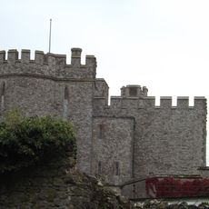
Saltwood Castle
United Kingdom

Saltwood Castle

1.3 km
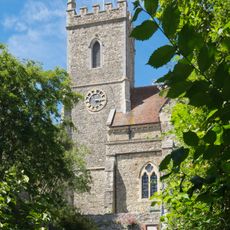
St Leonard's Church, Hythe
United Kingdom

St Leonard's Church, Hythe

2.3 km
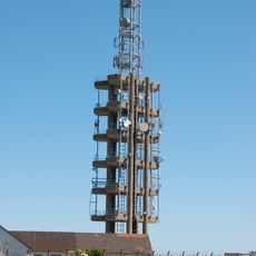
Tolsford Hill BT Tower
United Kingdom

Tolsford Hill BT Tower

1.7 km
United Kingdom

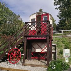
Saltwood Miniature Railway

1.7 km
Seabrook Stream
United Kingdom

Seabrook Stream

1.3 km
Elham Valley Line Trust
United Kingdom

Elham Valley Line Trust

2 km
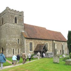
Church of St Peter and St Paul, Saltwood
United Kingdom

Church of St Peter and St Paul, Saltwood

1.4 km
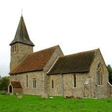
Church of St Nicholas
United Kingdom

Church of St Nicholas

1.6 km
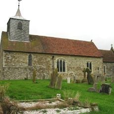
Church of St Martin
United Kingdom

Church of St Martin

2.4 km
Saltwood House
United Kingdom

Saltwood House

1.5 km
Newington and Peene War Memorial, Folkestone and Hythe
United Kingdom

Newington and Peene War Memorial, Folkestone and Hythe

1.6 km
United Kingdom

Wall Adjoining Nos 5 To 9 On South East Side

2.4 km
United Kingdom

Walls To North, South, East And West Of Vicarage And Adjoining Property To The West

2.3 km
United Kingdom

Wall To North And South West Of Tynwald, North Of Clyme House, North And South Of Dunkery And North, South And West Of Gramarye

2.3 km
Bastions And Curtain Wall About 10 Metres South East Of Saltwood Castle
United Kingdom

Bastions And Curtain Wall About 10 Metres South East Of Saltwood Castle

1.3 km
United Kingdom

Wall Adjoining No 17 To South East

2.3 km
United Kingdom

Wall To North And East Of Oak Lodge

2.4 km
United Kingdom

Wall Adjoining The Old Manor House To North, East And South

2.3 km
United Kingdom

Wall To Cantle Cottage On West Side

2.3 km
United Kingdom

Walls On South And East Sides Of No 3 Church Road

2.3 km
United Kingdom

Wall To North And West Of No 25

2.4 km
United Kingdom

Wall To North And West Of Nos 7 To 15 Hillside Court

2.4 km
United Kingdom

Walls To South, West And East Of Old Walls

2.3 km
United Kingdom

Wall To North And West Sides Of The Dene

2.3 km
United Kingdom

Shell Keep, Newington

1.4 km
United Kingdom

Monument To Mark Turner About 4 Metres North Of North Chapel Of Church Of St Nicholas

1.6 km
United Kingdom

Channel Tunnel, England

2.1 km
United Kingdom

Scenic viewpoint

678 m
Show the full map
Reviews
Share your experience

No review yet

Discussions
Start a discussion...

No discussion yet

« Operation Stack - Traffic management system at Port of Dover, England » is provided by Around Us (aroundus.com). Images and texts are derived from Wikimedia project under a Creative Commons license. You are allowed to copy, distribute, and modify copies of this page, under the conditions set by the license, as long as this note is clearly visible.

Discover hidden gems everywhere you go!

From secret cafés to breathtaking viewpoints, skip the crowded tourist spots and find places that match your style. Our app makes it easy with voice search, smart filtering, route optimization, and insider tips from travelers worldwide. Download now for the complete mobile experience.

Around Us App Screenshot

A unique approach to discovering new places

Le Figaro

All the places worth exploring

France Info

A tailor-made excursion in just a few clicks

20 Minutes

Around Us
Travel Guide & Maps
Download

Send to your phone

QR Code
1

Open the camera app on your mobile.

2

Point at the QR code with your camera. A notification will appear.

3

Tap the notification to open the link.