
Sedgeford, human settlement in United Kingdom
Location: King's Lynn and West Norfolk
Website: http://sedgeford.org.uk
GPS coordinates: 52.90000,0.54390
Latest update: March 7, 2025 23:40

Snettisham Hoard
3.1 km
Sedgeford Torc
408 m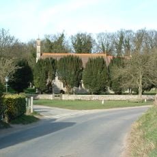
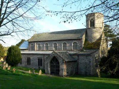
Church of Saint Peter and Saint Paul
4.2 km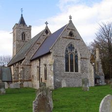
Church of St Andrew
4.1 km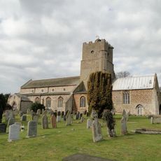
Church of St Mary the Virgin
3.3 km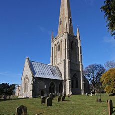
Church of St Mary, Snettisham
3.2 km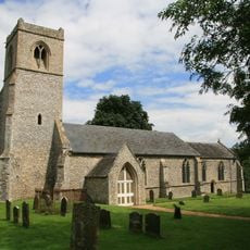
Church of All Saints
2.9 km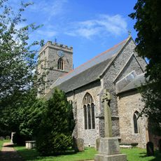
Church of St Mary the Virgin
5.3 km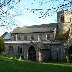
Church of St Mary
509 m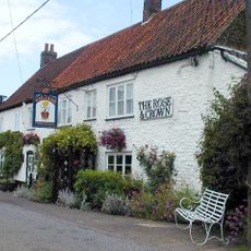
The Rose And Crown Public House
3.5 km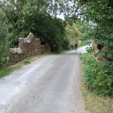
Bridge Over Loo Water On Line Of Former Heacham-Hunstanton Road.
3 km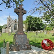
Ringstead War Memorial
4.1 km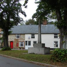
Sedgeford War Memorial
119 m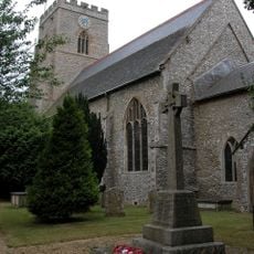
Docking War Memorial
5.3 km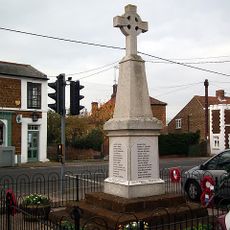
Snettisham War Memorial
3.6 km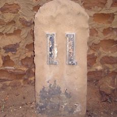
Milestone, 25yds N of Suffolk House
3.5 km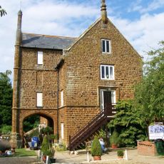
Caley Mill
2.8 km
Fring War Memorial
3.1 km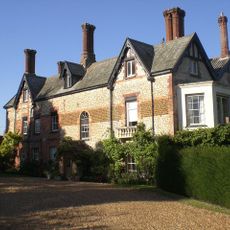
Holly Lodge
3.4 km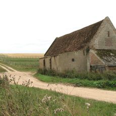
Barret Ringstead Farm Barn
4 km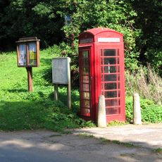
K6 Telephone Kiosk
3.1 km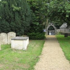
Lychgate 15 Metres South East Of Church Of St Mary The Virgin
5.3 km
The White House
3.6 km
Churchyard Wall, Gate Piers Entrance Gates To West And South Of Church Of St Mary
3.2 km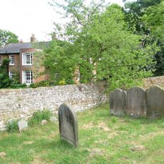
The Old Vicarage
3.2 km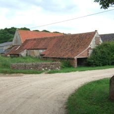
Stables To South Of Downs Farmhouse
4.1 km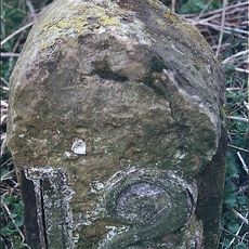
Milestone, just N of junction with Lamsey Lane
2.9 km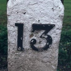
Milestone, Lynn Road, 30yds W of road leading to bridge over Heacham River
3 kmVisited this place? Tap the stars to rate it and share your experience / photos with the community! Try now! You can cancel it anytime.
Discover hidden gems everywhere you go!
From secret cafés to breathtaking viewpoints, skip the crowded tourist spots and find places that match your style. Our app makes it easy with voice search, smart filtering, route optimization, and insider tips from travelers worldwide. Download now for the complete mobile experience.

A unique approach to discovering new places❞
— Le Figaro
All the places worth exploring❞
— France Info
A tailor-made excursion in just a few clicks❞
— 20 Minutes