
Shocklach Oviatt, former civil parish in Cheshire West and Chester, Cheshire, England
Location: Shocklach Oviatt and District
GPS coordinates: 53.03330,-2.83333
Latest update: March 12, 2025 16:21
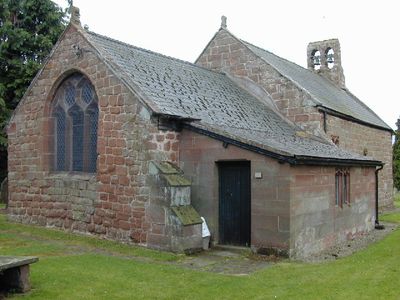
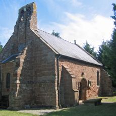
St Edith's Church
1.8 km
Overton Hall
2.9 km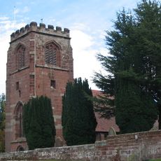
St Mary's Church, Tilston
2.4 km
Stretton Hall
4 km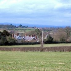
Lower Carden Hall
3.9 km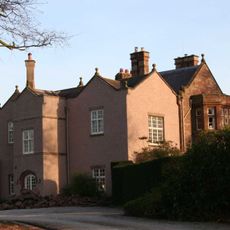
Chorlton Hall
2.4 km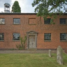
St John's Church, Threapwood
3.4 km
Stretton Lower Hall
4.4 km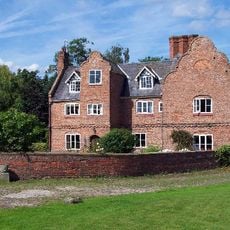
Chorlton Old Hall
1.8 km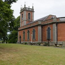
St Deiniol's Church
3.4 km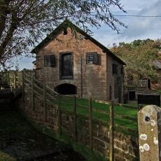
Stretton Watermill
4.4 km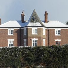
The Rectory
4.5 km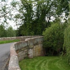
Sarn Bridge
4 km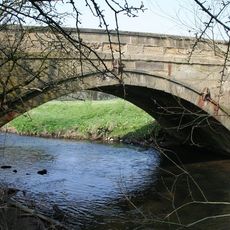
Pickhill Bridge
4.6 km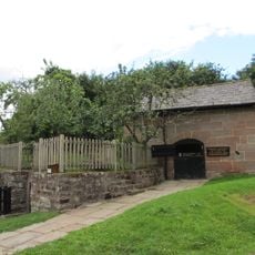
Stretton Mill Stable
4.4 km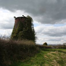
Windmill 130 yards east Of Mill House
3.6 km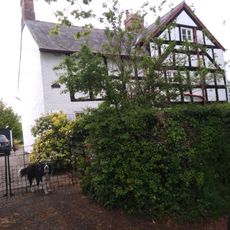
Pursa Farmhouse
665 m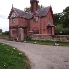
Broughton Hall Lodge
2.6 km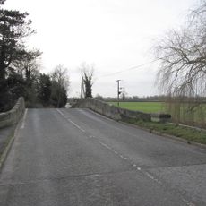
Worthenbury Bridge
3.6 km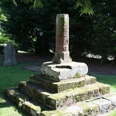
Medieval Cross in St Edith's Churchyard, South of Church
1.7 km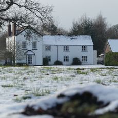
Kidnall Grange Farmhouse
3.2 km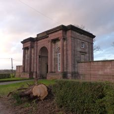
Carden Lodge and wing walls
4.5 km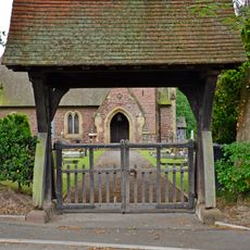
Lychgate to Church of Saint Mary Magdalene
4.6 km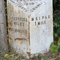
Milepost, E of Heath Farm
3.6 km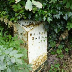
Milepost, W of The Bank
2.7 km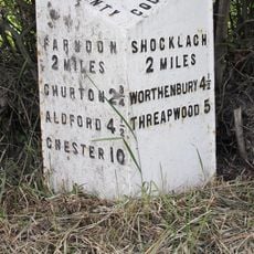
Milepost, N of Caldecott Green
3.5 km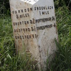
Milepost, S of Castletown Rough
2 km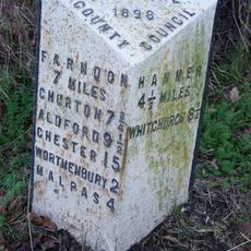
Milepost, S of Upper Wood Farm
3.8 kmVisited this place? Tap the stars to rate it and share your experience / photos with the community! Try now! You can cancel it anytime.
Discover hidden gems everywhere you go!
From secret cafés to breathtaking viewpoints, skip the crowded tourist spots and find places that match your style. Our app makes it easy with voice search, smart filtering, route optimization, and insider tips from travelers worldwide. Download now for the complete mobile experience.

A unique approach to discovering new places❞
— Le Figaro
All the places worth exploring❞
— France Info
A tailor-made excursion in just a few clicks❞
— 20 Minutes