
Frilsham, village in the United Kingdom
Location: West Berkshire
Shares border with: Hampstead Norreys
GPS coordinates: 51.45461,-1.21663
Latest update: March 3, 2025 03:06
Bucklebury Farm Park
2.9 km
Grimsbury Castle
3.4 km
Old Bluecoat School, Thatcham
6.1 km
Perborough Castle
5.7 km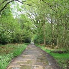
Bucklebury Common
4.1 km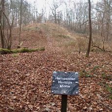
Hampstead Norris Castle
3.3 km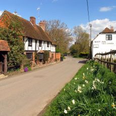
The Old Boot Inn
3.6 km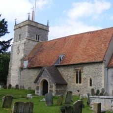
Church of St Mary
2.4 km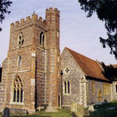
Church of St Andrew
5.8 km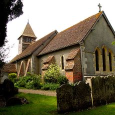
Church of St Clement
4.1 km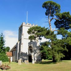
Church of St Mary
3.5 km
Church of St Bartholomew
4 km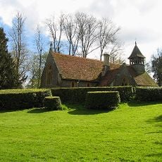
Church of St Mary
2 km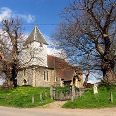
Church of St Denys
3.3 km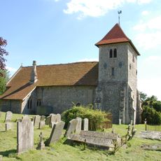
St Mary's church, Aldworth
6.3 km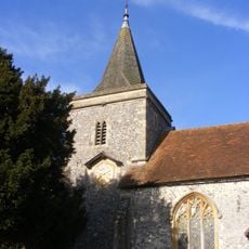
Church of St Peter and St Paul, Yattendon
1.7 km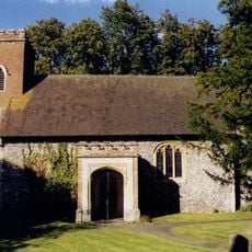
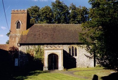
Church of St Frideswide
725 m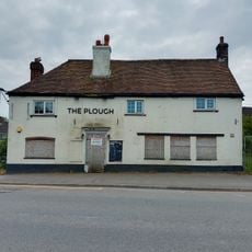
The Plough Public House
6.1 km
All Saints
4.5 km
Parish Well
3.5 km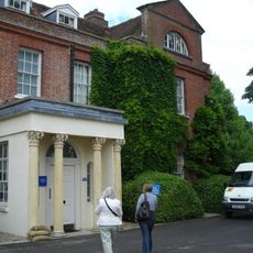
Priors Court School
5.7 km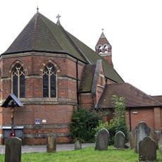
Cold Ash War Memorial
4.7 km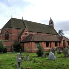
St. Mark's Church
4.7 km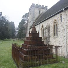
Lowsley Tomb, Approximately 3 Metres South Of South Wall Of Church Of St Mary
3.5 km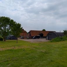
Barn At Colthrop Manor
5.7 km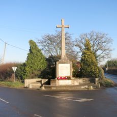
Bradfield War Memorial
5.8 km
Manor House, Gate Piers And Iron Railings
3.5 km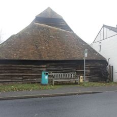
Barn Approximately 40 Metres North West Of Barn Cottage
3.6 kmVisited this place? Tap the stars to rate it and share your experience / photos with the community! Try now! You can cancel it anytime.
Discover hidden gems everywhere you go!
From secret cafés to breathtaking viewpoints, skip the crowded tourist spots and find places that match your style. Our app makes it easy with voice search, smart filtering, route optimization, and insider tips from travelers worldwide. Download now for the complete mobile experience.

A unique approach to discovering new places❞
— Le Figaro
All the places worth exploring❞
— France Info
A tailor-made excursion in just a few clicks❞
— 20 Minutes