
Ashford Bowdler, village in the United Kingdom
St Bartholomew's Church
3.2 km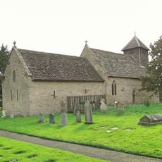
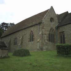
Church of St Mary
949 m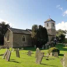
Church of St Michael
3.3 km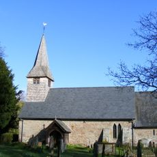
Church of St Andrew
300 m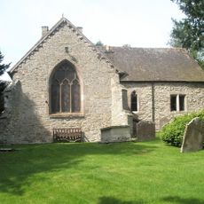
Church of St Giles
3.5 km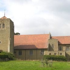
Church of All Saints
2.2 km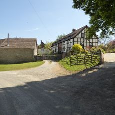
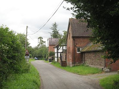
Church House
3.2 km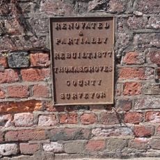
Ashford Bridge At Ngr So 5200 7113
611 m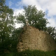
Richard's Castle
3.2 km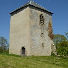
Tower about 10 metres east of Church of St Bartholomew
3.2 km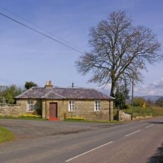
House At The Entrance To The Lodge
1.9 km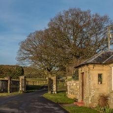
Gates And Piers And Walls To South West Of House At Entrance To The Lodge
1.9 km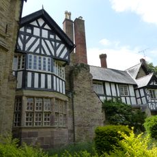
Charlton House Garden House Ludford House St Giles House
3.5 km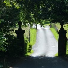
Gates and piers to north of lodge to Moor Park
2 km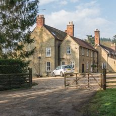
Overton
2.1 km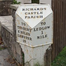
Milepost at NGR SO 5099 7305
2.5 km
Church House Including Service Wings
259 m
The Serpent
2.1 km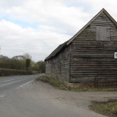
Barn About 10 Metres North Of Comberton Farmhouse
3.5 km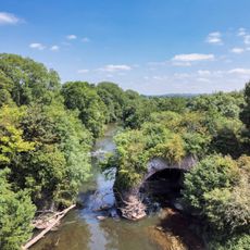
Teme Aqueduct At Ngr So 5368 6878 (That Part In Richards Castle Cp)
2.8 km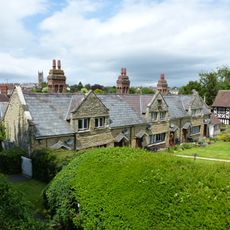
St Giles's Hospital
3.6 km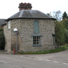
Policeman's Corner
2.1 km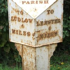
Milepost, Bilbury Cottage , opp. sewage pumping station
2.7 km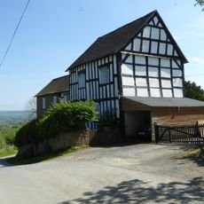
Green Farmhouse
3.1 km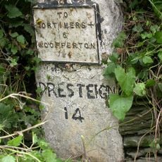
Milestone, Comberton; 30m E jcn Orleton turn
3.5 km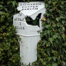
Milepost, Rose House
2.1 km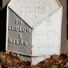
Milepost, Overton
2.2 km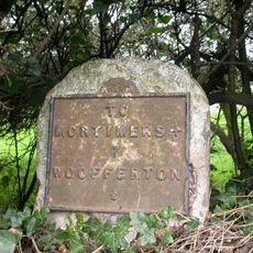
Milestone, Woofferton; 15m E Turnpike Cottage
2.5 kmVisited this place? Tap the stars to rate it and share your experience / photos with the community! Try now! You can cancel it anytime.
Discover hidden gems everywhere you go!
From secret cafés to breathtaking viewpoints, skip the crowded tourist spots and find places that match your style. Our app makes it easy with voice search, smart filtering, route optimization, and insider tips from travelers worldwide. Download now for the complete mobile experience.

A unique approach to discovering new places❞
— Le Figaro
All the places worth exploring❞
— France Info
A tailor-made excursion in just a few clicks❞
— 20 Minutes