Pendle Hill, Mountain summit in Lancashire, England
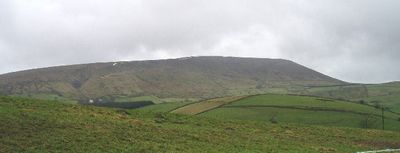
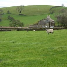
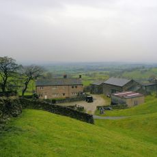
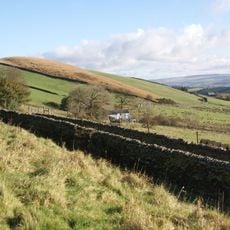
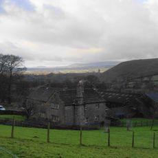
Pendle Hill stands at 557 meters above sea level, forming a distinct peak within the Pennines made of layers of sedimentary rock. The summit overlooks the valleys and fields of Lancashire, visible from many miles around.
A Bronze Age burial mound on the summit shows that people lived here and buried their dead thousands of years ago. In 1612, the Pendle witch trials took place, when twelve people faced accusations of witchcraft.
The hill gained notoriety through the Pendle witch trials of 1612, where twelve individuals faced accusations of murder through witchcraft.
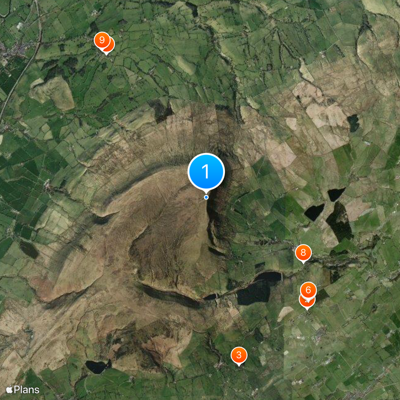
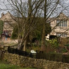
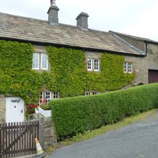
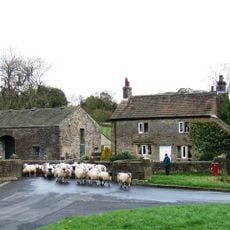
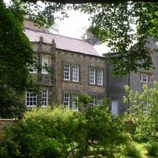
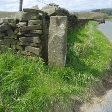
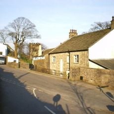
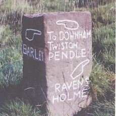
Several walking routes lead to the top from the village of Barley, with most trails taking around two to three hours to climb. Parking is available in the village, and information boards help with navigation along the different paths.
The name layers three languages into one word: Cumbric 'pen', Old English 'hul', and modern English 'hill', all meaning hill. This triple layering shows how different peoples named the same place over centuries.
Location: Lancashire
Elevation above the sea: 557 m
Made from material: sedimentary rock
GPS coordinates: 53.86858,-2.29858
Latest update: December 12, 2025 18:00
This collection presents locations around the world associated with ghost stories and unexplained events. From historic fortresses and former prisons to abandoned hospitals and old cemeteries, these sites have developed their own legends. Visitors can explore the Tower of London in England, where...
St Mary's Church
2.7 km
Sabden Great Hall
3.1 km
16-20, Newchurch Street
2.7 km
35 Chapel Brow
3.2 km
22, Newchurch Street
2.6 km
36 and 37 Chapel Brow
3.2 km
Barley Green Cottage Barley Green Cottages Barley Green Farmhouse Barley Green House
2.1 km
Bridge approximately 15 metres south west of Fir Tree House
3.3 km
Fir Tree House
3.3 km
Little Mearley Hall
2.9 km
Mounting Steps Adjoining Boundary Wall To South West Of St Mary's Vicarage
2.8 km
Hollins Farmhouse and barn adjoining to south west
2.1 km
Milestone at Four Lane Ends at SD 815427
1.7 km
Heckiln Farmhouse
2.1 km
Greengates
3.2 km
Whitehough House, Farmhouse And Outbuildings
2.9 km
Clay House Farmhouse
2.5 km
Well Head Farmhouse And Barn Adjoining To The North East
2.5 km
Lower Black Moss Farmhouse And Barn Abutting To East
2.6 km
Laneside Farmhouse and barn adjoining to west
2.9 km
Village Hall
3.1 km
The Vicarage
2.8 km
Hook Cliffe Farmhouse and farm building adjoining to west
2.2 km
Nutter Headstone 2 Metres South Of Church Of St Mary
2.8 km
Guidestone, Lower Gate
3.1 km
Guidestone, near West Lane
1.9 km
Whittakers Cottage
2.9 km
Back O' T'Thorn
3.2 kmVisited this place? Tap the stars to rate it and share your experience / photos with the community! Try now! You can cancel it anytime.
Discover hidden gems everywhere you go!
From secret cafés to breathtaking viewpoints, skip the crowded tourist spots and find places that match your style. Our app makes it easy with voice search, smart filtering, route optimization, and insider tips from travelers worldwide. Download now for the complete mobile experience.
A unique approach to discovering new places❞
— Le Figaro
All the places worth exploring❞
— France Info
A tailor-made excursion in just a few clicks❞
— 20 Minutes