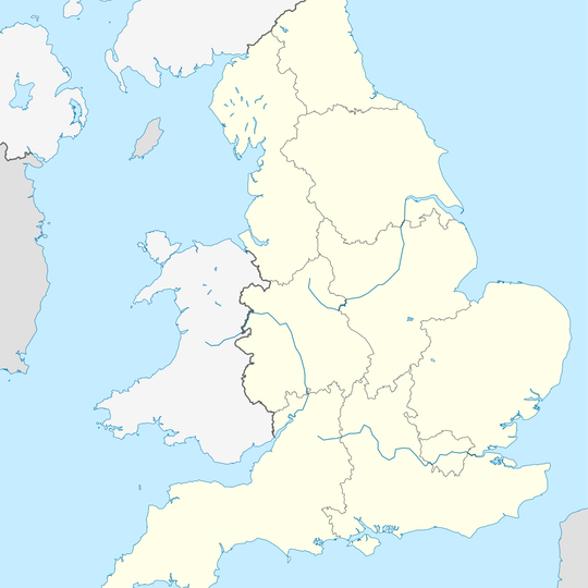
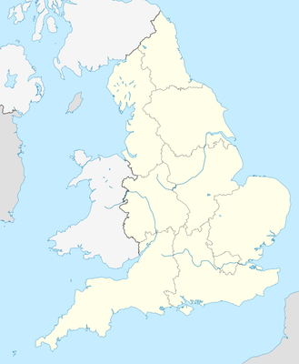
Benefield, civil parish in Northamptonshire, UK
Location: North Northamptonshire
GPS coordinates: 52.49000,-0.55080
Latest update: March 5, 2025 15:19
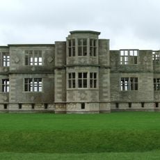
Lyveden New Bield
3.7 km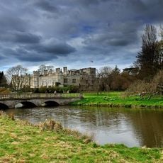
Deene Park
4.9 km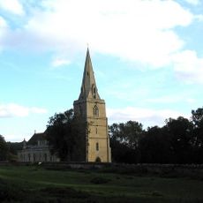
Church of St Peter, Deene
5 km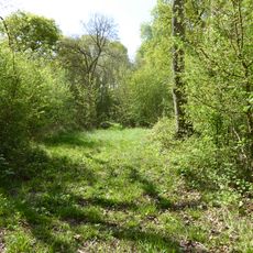
Short Wood and Southwick Wood
3.9 km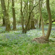
Glapthorn Cow Pasture
2.3 km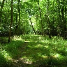
Banhaw, Spring and Blackthorn's Woods
1.8 km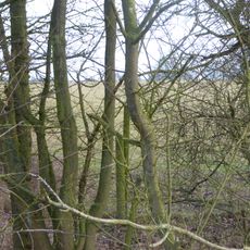
Sudborough Green Lodge Meadows
5 km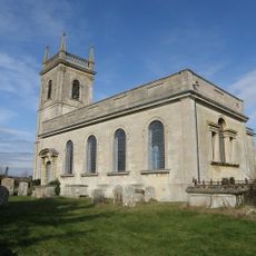
Church of St Rumbald
5 km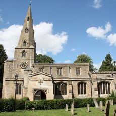
Church of St Andrew
5.4 km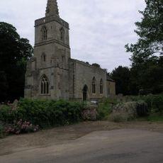
Church of St Mary, Southwick
4.7 km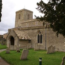
Church of St Leonard
4.1 km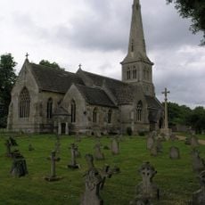
Church of St Mary
615 m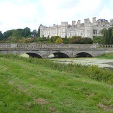
Bridge Approximately 80 Metres South East Of Deene Hall
5 km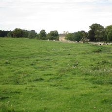
Bridge Approximately 75 Metres South Of Shuckburgh Arms Public House
4.8 km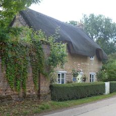
Cherry Tree Cottage
5.3 km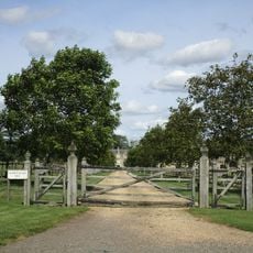
Fermyn Woods Hall and Attached Stables and Ancillary Buildings
3.3 km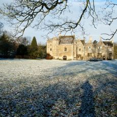
Southwick Hall
4.8 km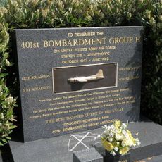
401st Bombardment Group USAAF Memorial, Deenethorpe
2.6 km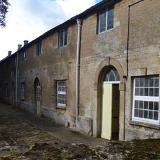
Stables Approximately 50 Metres North West Of Deene Hall
5.2 km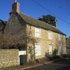
Church Farm House
4.1 km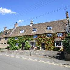
44, High Street
5.3 km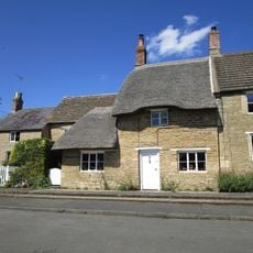
12, Hall Hill
5.3 km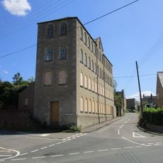
Wallis's Mill (Wythe,Holland,Udall Partnership)
5.2 km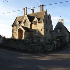
Rectory Farmhouse And Attached Farmbuildings
574 m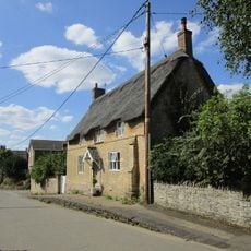
Roke House
5.2 km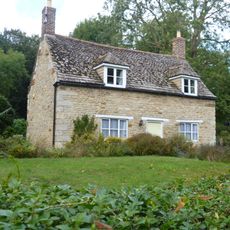
19, Main Street
5.3 km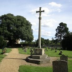
Benefield War Memorial
604 m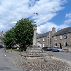
Market Cross
5.3 kmReviews
Visited this place? Tap the stars to rate it and share your experience / photos with the community! Try now! You can cancel it anytime.
Discover hidden gems everywhere you go!
From secret cafés to breathtaking viewpoints, skip the crowded tourist spots and find places that match your style. Our app makes it easy with voice search, smart filtering, route optimization, and insider tips from travelers worldwide. Download now for the complete mobile experience.

A unique approach to discovering new places❞
— Le Figaro
All the places worth exploring❞
— France Info
A tailor-made excursion in just a few clicks❞
— 20 Minutes
