
Gulworthy, village in the United Kingdom
Location: West Devon
Elevation above the sea: 154.4 m
GPS coordinates: 50.53420,-4.19250
Latest update: March 24, 2025 01:41
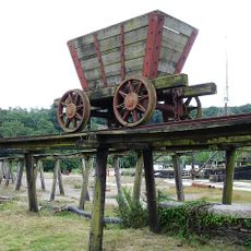
Morwellham Quay
3.2 km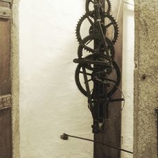
Cotehele clock
4.9 km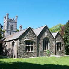
Church of St Andrew
3.7 km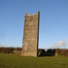
The Prospect Tower
4.6 km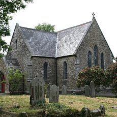
St Paul's Church
86 m
Cotehele
4.9 km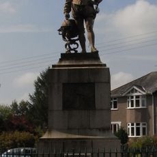
Statue of Francis Drake
3.1 km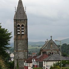
Church of Our Lady and St Mary Magdalene
3 km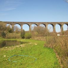
Shillamill Viaduct
2 km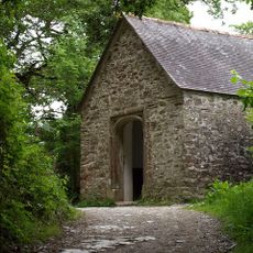
Chapel Of St George And St Thomas A Becket
4.8 km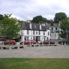
Tamar Hotel
4.4 km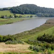
Tamar Valley Mining District with Tavistock
2.6 km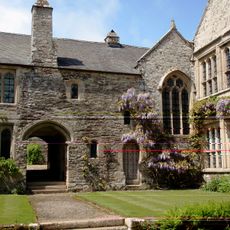
Cotehele House Chapel
4.9 km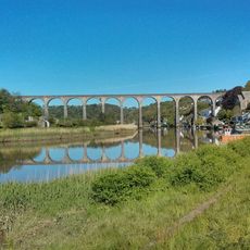
Calstock Viaduct
4.4 km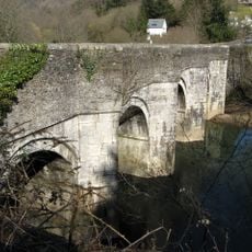
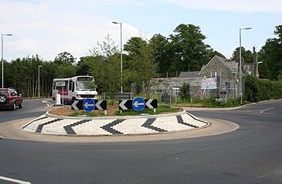
New Bridge
1.5 km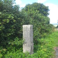
Milestone At Sx 460 687
4.3 km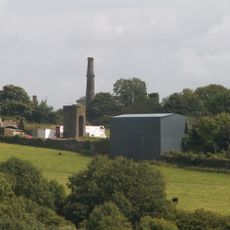
Water Tower
3.9 km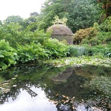
Dovecote About 80 Metres East Of Cotehele House
4.8 km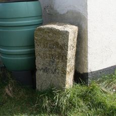
Milestone At Sx 438 748
2.3 km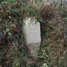
Milestone At Sx 451 732
681 m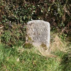
Milestone At Sx 450 712
1.6 km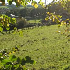
Crowndale
2.6 km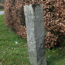
Milestone At Sx 462 697
3.5 km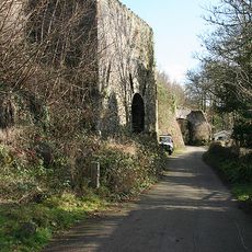
Lime Kiln
4.3 km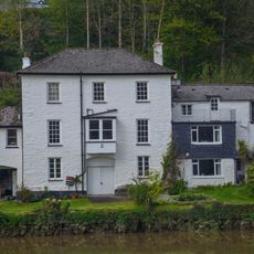
Kelly House
4.3 km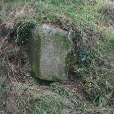
Milestone At Sx 430 750
2.8 km
Limekiln
4.3 km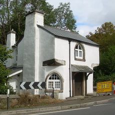
The Old Toll House
1.4 kmVisited this place? Tap the stars to rate it and share your experience / photos with the community! Try now! You can cancel it anytime.
Discover hidden gems everywhere you go!
From secret cafés to breathtaking viewpoints, skip the crowded tourist spots and find places that match your style. Our app makes it easy with voice search, smart filtering, route optimization, and insider tips from travelers worldwide. Download now for the complete mobile experience.

A unique approach to discovering new places❞
— Le Figaro
All the places worth exploring❞
— France Info
A tailor-made excursion in just a few clicks❞
— 20 Minutes