
Audley Rural, civil parish in Staffordshire, England
Location: Newcastle-under-Lyme
GPS coordinates: 53.04200,-2.31500
Latest update: March 12, 2025 07:48
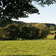
Heighley Castle
3.2 km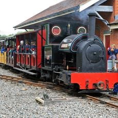
Moseley Railway Trust
3.4 km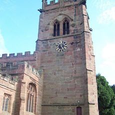
St Bertoline's Church, Barthomley
3.7 km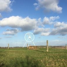
Apedale Community Country Park
3.1 km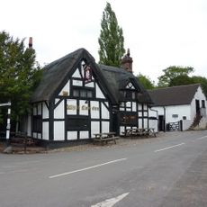
White Lion, Barthomley
3.7 km
Apedale Heritage Centre
3.5 km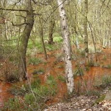
Parrot's Drumble
3.9 km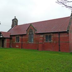
All Saints Church, Balterley
3 km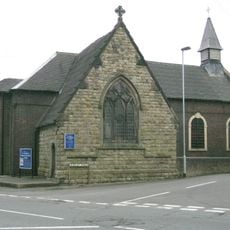
Church of St Martin
5.2 km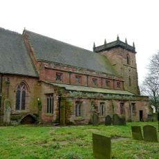
Church of St James
1.7 km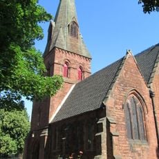
Church of Holy Trinity, Chesterton
4.2 km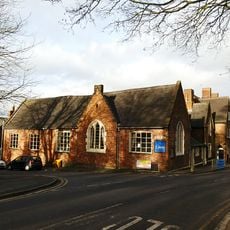
St James' Church Hall
1.7 km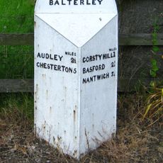
Mile Post 20 Metres South West Of All Saints Church
3 km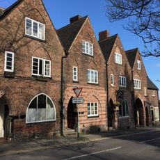
4-12, Church Street
1.7 km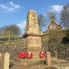
Alsagers Bank War Memorial
1.5 km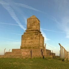
Wedgewood Monument
3.6 km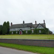
Old Hall Farmhouse
3.9 km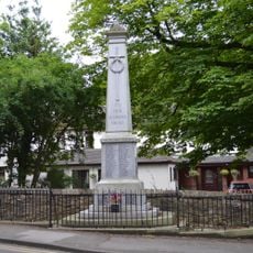
Audley War Memorial
1.7 km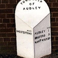
Mile post at grid reference SK 805 510
2.2 km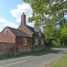
The Smithy
3.9 km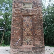
Remains of chimney
2.8 km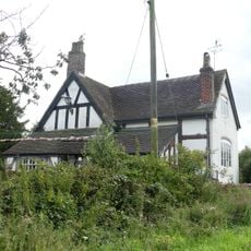
Hullock's Pool Farmhouse
2.9 km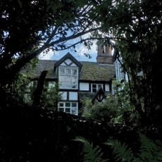
Church Bank
3.7 km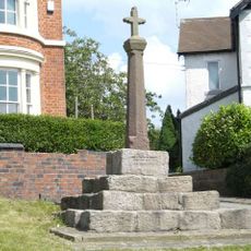
Cross Approximately 5 Yards West Of Number 51 (Cross House)
5.2 km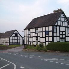
Arigultritural Building Immediately South Of Church Farmhouse
5.1 km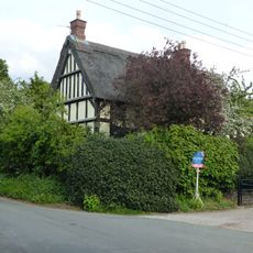
Miles Green Farmhouse
1.6 km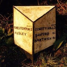
Milepost, the Quarry
1.3 km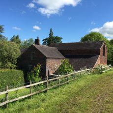
Audley Mill
2.8 kmVisited this place? Tap the stars to rate it and share your experience / photos with the community! Try now! You can cancel it anytime.
Discover hidden gems everywhere you go!
From secret cafés to breathtaking viewpoints, skip the crowded tourist spots and find places that match your style. Our app makes it easy with voice search, smart filtering, route optimization, and insider tips from travelers worldwide. Download now for the complete mobile experience.

A unique approach to discovering new places❞
— Le Figaro
All the places worth exploring❞
— France Info
A tailor-made excursion in just a few clicks❞
— 20 Minutes