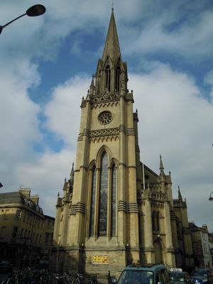
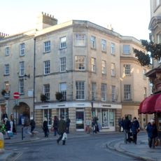
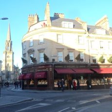
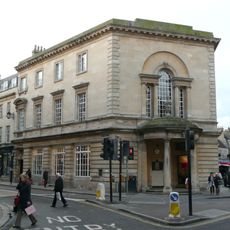
St Michael's Church, Bath, Anglican church building in Bath, England
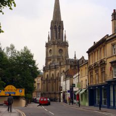
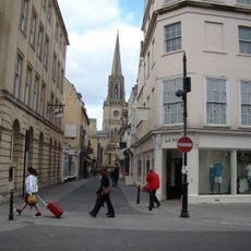
St Michael's Church is an Anglican church built from limestone with a decorated tower topped by an octagonal lantern and spire that rises over 180 feet above the city. The rectangular structure and its distinctive tower design make it one of Bath's recognizable landmarks from several vantage points.
The church was completed in 1837 as the fourth religious building constructed on this location throughout history. Its name originates from its position outside the medieval city walls near the North Gate, a distinction that shaped its early role in the community.
The church houses artworks from the mid-1700s, including a Christ with the Cross painted by William Hoare that came from an earlier chapel on this site. Visitors can see these pieces during their visit and sense how art has been important to this place over centuries.
The building holds services on Sundays in different styles, ranging from traditional communion to more informal cafe-style gatherings with refreshments available. Visitors planning to attend should check local information about exact times and whether additional visiting hours are offered outside service times.
During World War II, local residents used the building as a shelter when air raids threatened the city from above. This wartime role reveals how the church served purposes beyond worship when the community needed protection.
The community of curious travelers
AroundUs brings together thousands of curated places, local tips, and hidden gems, enriched daily by 60,000 contributors worldwide.