
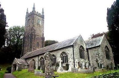
St Nonna's Church, Altarnun, Medieval church in Altarnun, England
St Nonna's Church is a stone building in Altarnun featuring a tower about 109 feet (33 meters) tall and large windows with medieval stone work. Its interior contains extensive carved woodwork and decorative details throughout.
The building was constructed on the site of a Norman church from 1150 and took its current form largely during the 15th century. Lightning damage in 1791 led to significant repairs.
The church displays carved oak bench ends showing biblical scenes and images of medieval Cornish life. These carvings tell stories about how people lived and worshipped at that time.
The church is located conveniently in central Altarnun with street parking nearby. Access to the interior involves a few steps, and the space is easy to explore at a comfortable pace.
The font dates to the 12th century and displays intricately carved faces and rosettes encircled by serpents. Original paint traces are still visible, showing how colorful these carvings once were.
Location: Altarnun
Inception: 12 century
Website: http://achurchnearyou.com/altarnon-st-nonna
GPS coordinates: 50.60461,-4.51281
Latest update: December 13, 2025 11:45
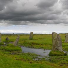
Nine Stones
3.5 km
Altarnun Methodist Chapel
264 m
Kings Head Hotel
672 m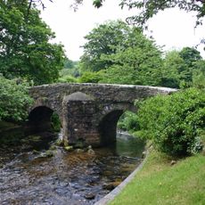
Altarnun Old Bridge
48 m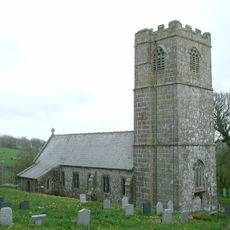
Church of St Clether
3.5 km
Church of St Michael
3.7 km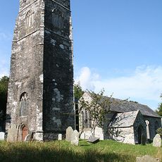
Church of St Sidwell
2.7 km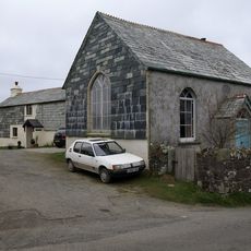
Trecollas Chapel
2.3 km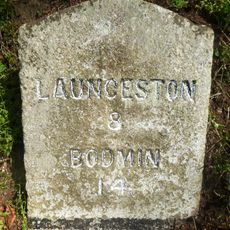
Milestone 100 Metres To South East Of Kings Head Hotel
780 m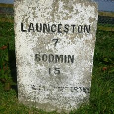
Milestone 80 Metres To South West Of Strylands
2.2 km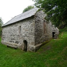
St Clether's Chapel and Holy Well
3.8 km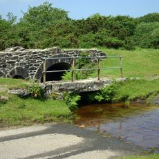
Bowithick Bridge and footbridge
4.2 km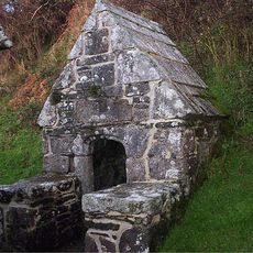
Holy Well of St Clether
3.8 km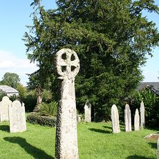
Medieval churchyard cross in Laneast churchyard
2.7 km
Bridge Directly To South Of Trewen Mill
3.4 km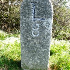
Milestone To North East Of Napps Farm
4.1 km
Medieval wayside cross in Altarnun churchyard
24 m
Early post-medieval guide post 270m north west of Bowden
3.2 km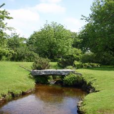
Footbridge To South East Of Bothwick
4.2 km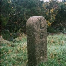
Milestone At Sx246843
3.9 km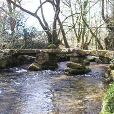
Footbridge 90 Metres To South-East Of Trevague
2.3 km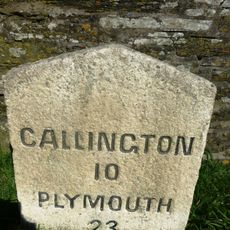
Milestone 200 Metres To East Of Plusha
3.4 km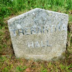
Milestone 500 Metres To North East Of Plusha
3.6 km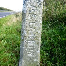
Boundary Stone 220 Metres To North East Of Higher Cannaframe Farm
3.9 km
Milestone 800 Metres To South West Of Trewint Marsh
1.7 km
Chygrysys
153 m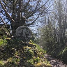
Cross 20 Metres To South East Of Trekennick Farmhouse
608 m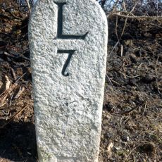
Milestone At Sx231848
3.6 kmVisited this place? Tap the stars to rate it and share your experience / photos with the community! Try now! You can cancel it anytime.
Discover hidden gems everywhere you go!
From secret cafés to breathtaking viewpoints, skip the crowded tourist spots and find places that match your style. Our app makes it easy with voice search, smart filtering, route optimization, and insider tips from travelers worldwide. Download now for the complete mobile experience.

A unique approach to discovering new places❞
— Le Figaro
All the places worth exploring❞
— France Info
A tailor-made excursion in just a few clicks❞
— 20 Minutes