
Stanthorne, village and former civil parish in Cheshire, UK
Location: Stanthorne and Wimboldsley
GPS coordinates: 53.19000,-2.46600
Latest update: March 4, 2025 00:25

St Michael and All Angels, Middlewich
1.5 km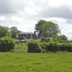
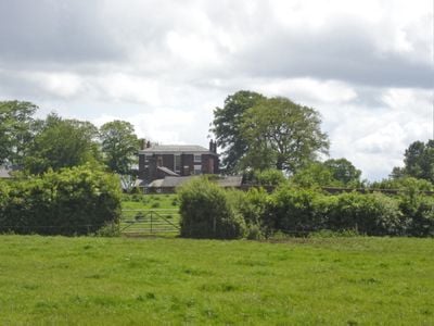
Stanthorne Hall
969 m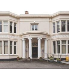
Middlewich Manor
1.1 km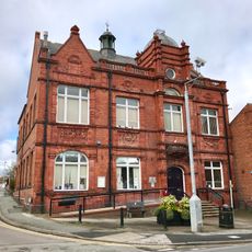
Middlewich Town Hall
1.5 km
10, Hightown
1.4 km
Trent and Mersey Canal, Big Lock and footbridge
1.5 km
Middlewich Branch of Shropshire Union: Canal Bridge Number 30 carrying St Ann's Road over canal
1.4 km
Wardle Lock
1.6 km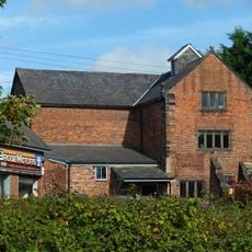
Kinderton Mill
1.6 km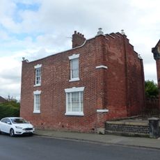
25, Queen Street
1.4 km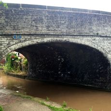
Middlewich Branch of Shropshire Union Canal: Bridge Number 31 carrying Sutton Lane over canal
1.5 km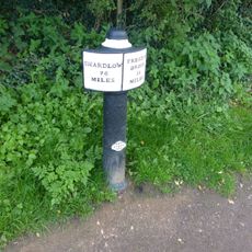
Trent and Mersey Canal, canal milepost at NGR 698 670
1.4 km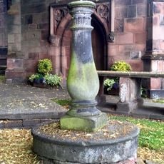
Sundial south of west bay of Church of St Michael and All Angels, Middlewich
1.5 km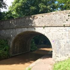
Middlewich Branch of Shropshire Union Canal: Bridge Number 28 carrying footpath over canal
1.1 km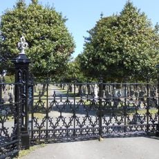
Gates and railings to Middlewich Cemetery
1 km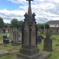
Cooke family tomb in Middlewich Cemetery circa 80 metres south of mortuary chapels
1 km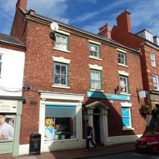
28, Wheelock Street
1.3 km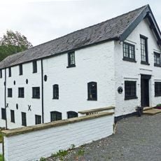
Stanthorne Mill
505 m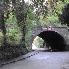
Nantwich Road Aqueduct
791 m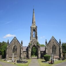
Mortuary chapels, archway and spire in Middlewich Cemetery
1.1 km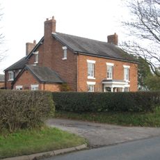
Bank Farmhouse
1.5 km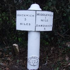
Milepost
1 km
66, St Ann's Road
1.1 km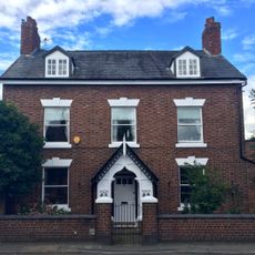
62, St Ann's Road
1.1 km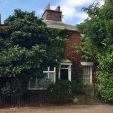
8, Southway
1.1 km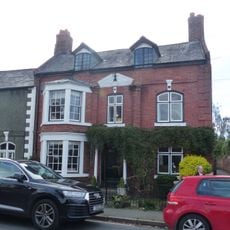
64, St Ann's Road
1.1 km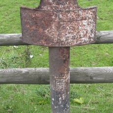
Milepost, S of Sheriff House
854 m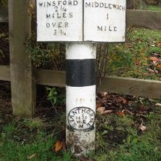
Milepost, E of Birch Lane jct
836 mVisited this place? Tap the stars to rate it and share your experience / photos with the community! Try now! You can cancel it anytime.
Discover hidden gems everywhere you go!
From secret cafés to breathtaking viewpoints, skip the crowded tourist spots and find places that match your style. Our app makes it easy with voice search, smart filtering, route optimization, and insider tips from travelers worldwide. Download now for the complete mobile experience.

A unique approach to discovering new places❞
— Le Figaro
All the places worth exploring❞
— France Info
A tailor-made excursion in just a few clicks❞
— 20 Minutes