
Stanton under Bardon, human settlement in United Kingdom
Location: Hinckley and Bosworth
Website: http://stantonunderbardon.leicestershireparishcouncils.org
GPS coordinates: 52.69000,-1.31000
Latest update: March 10, 2025 03:58
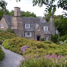
Stoneywell
3.3 km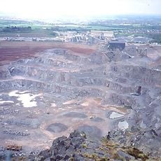
Bardon Hill Quarry
2.7 km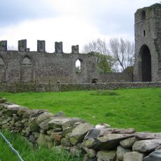
Ulverscroft Priory
4 km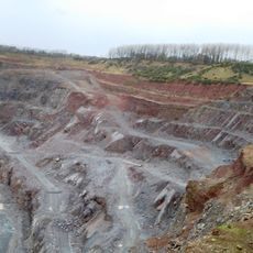
Cliffe Hill Quarry
684 m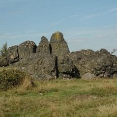
Charnwood Lodge
4.8 km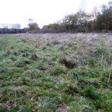
Coalville Meadows
4.9 km
St Giles' Church, Barlestone
6 km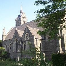
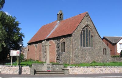
Church of St Peter
2.7 km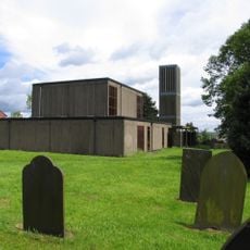
Chapel of the Holy Rood, Bagworth
3.1 km
Holly Rock Fields
3.9 km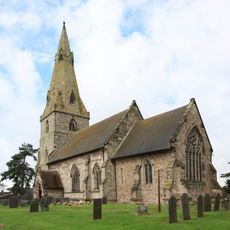
Church of All Saints
5.9 km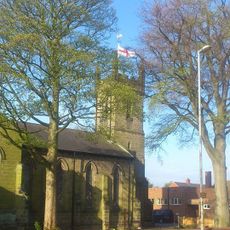
Christ Church
5.3 km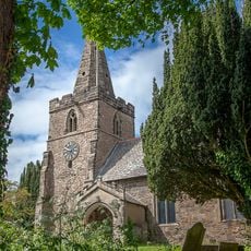
Church of St Michael
2 km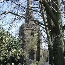
Church of St Peter
2.8 km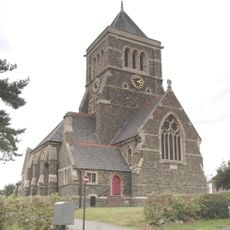
Church of St John the Baptist
4.6 km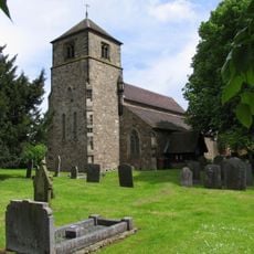
Church of St Giles
6.1 km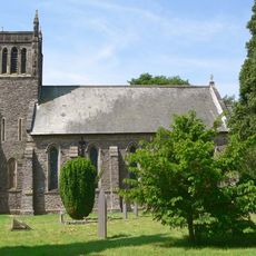
Church of St Peter
2.9 km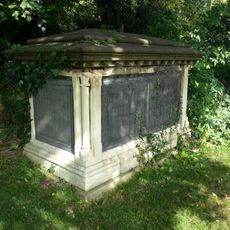
Church of St Denys and Paget Tombs in Churchyard
6.3 km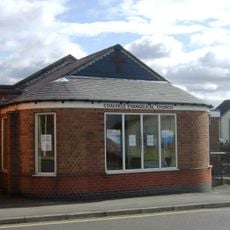
Coalville Evangelical Church
5.2 km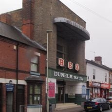
Rex Cinema, Coalville
5.8 km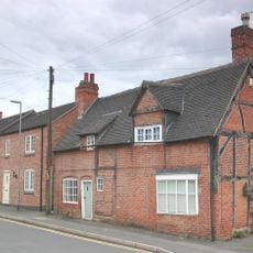
16, Dennis Street
4.7 km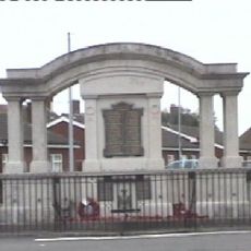
Ibstock War Memorial
6.1 km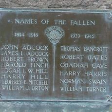
Stanton under Bardon War Memorial
155 m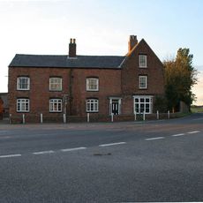
Elmside Farmhouse
6.3 km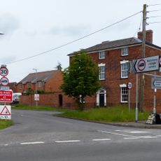
The Elms
6.3 km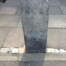
Milestone, by No. 149 Ashburton Road, Hugglescote
5.3 km
Milestone, by newsagents, No. 65 Melbourne Road, opp. Valley Road
6.2 km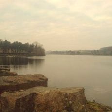
Thornton Reservoir
3 kmReviews
Visited this place? Tap the stars to rate it and share your experience / photos with the community! Try now! You can cancel it anytime.
Discover hidden gems everywhere you go!
From secret cafés to breathtaking viewpoints, skip the crowded tourist spots and find places that match your style. Our app makes it easy with voice search, smart filtering, route optimization, and insider tips from travelers worldwide. Download now for the complete mobile experience.

A unique approach to discovering new places❞
— Le Figaro
All the places worth exploring❞
— France Info
A tailor-made excursion in just a few clicks❞
— 20 Minutes