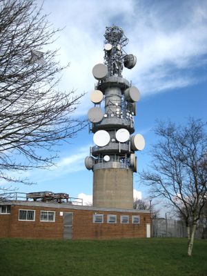
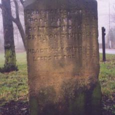
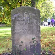
Tinshill BT Tower, Communication tower in Tinshill, Leeds, England
The Tinshill BT Tower is a communication structure with a steel lattice design mounted on a concrete foundation in northern Leeds. The tower carries 16 large microwave dishes and about 50 additional pieces of equipment for mobile phone, paging, and TETRA transmission services.
Built in 1951, it formed a key link in the television signal relay network connecting Manchester to Scotland. This connection improved transmission quality across the region.
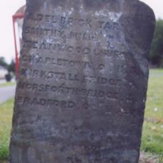
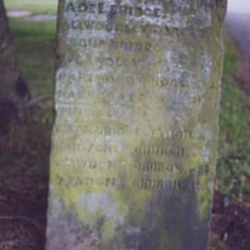
Local residents know this structure by two names: Tinshill BT Tower and Cookridge Tower. Both names reflect its role in the area's communication network.
The tower is visible from various angles in the surrounding area and easy to spot from distance. It is not open to public access as it remains an active telecommunications facility.
It stands at about 192 meters above sea level in the landscape. It is one of only fourteen BT towers across Britain constructed with reinforced concrete rather than other methods.
The community of curious travelers
AroundUs brings together thousands of curated places, local tips, and hidden gems, enriched daily by 60,000 contributors worldwide.