Tintern Quarry, Limestone quarry in Forest of Dean, England
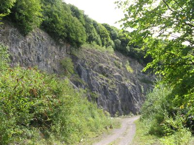
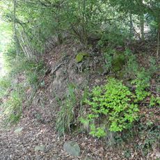
Tintern Quarry is a limestone excavation in the Forest of Dean featuring multiple working levels with steep exposed rock walls. The terraced stone faces rise in layers across the site, creating a dramatic geological formation within the woodland setting.
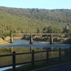
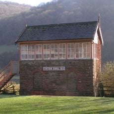
The Wye Valley Railway began hauling limestone from the site in 1876 and operated until its closure in 1981. This rail connection powered limestone extraction for decades and served construction projects throughout the surrounding region.
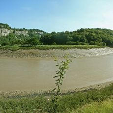
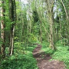
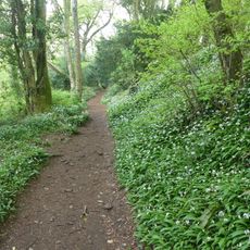
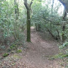
The quarry sits near Tintern Abbey and reflects the industrial past of the Wye Valley through limestone extraction and railway heritage. You can still see the marks of this mining tradition scattered across the landscape today.
Parking access remains restricted through spring 2025 due to logging work along the access track. Visitors should check conditions before planning their arrival and allow extra time for alternative routes if needed.
Climbing enthusiasts developed approximately 140 different routes at the quarry starting in the 1990s, treating the rock faces as a training destination. Today, access for climbing requires permission from the landowner and is generally restricted.
GPS coordinates: 51.67940,-2.65810
Latest update: December 14, 2025 18:14
Tintern Abbey
2.4 km
Lower Wye Gorge SSSI
1.6 km
Caerwood and Ashberry Goose House
1.5 km
Poor's Allotment
1.8 km
Royal George Hotel
2.7 km
Shorn Cliff and Caswell Woods
2.6 km
St Anne's House
2.4 km
East Wood, Tidenham
2.6 km
Church of St Mary and St Peter
2.4 km
Ridley Bottom
1.8 km
Lippets Grove
2.1 km
Church of St James (ruins)
1.8 km
Saint Michael & All Angels
1.3 km
Church of St Mary
2.7 km
Former Church of St Mary
2.5 km
The Anchor
2.5 km
Old Tramway Bridge (Formerly Wireworks Bridge)
2.7 km
Crown Lodge
2.7 km
Milestone At Grid Reference St 559001
2.4 km
Milestone at grid reference 543959
2.1 km
Archway To Old School Lane At Grid Reference 542956
2.5 km
Pen Moel
2.5 km
Milestone At Grid Reference St555986
1.1 km
Offa's Dyke: section in Shorncliff Wood including the Devil's Pulpit, 790m south west of Sheepcot
1.2 km
Milestone At Grid Reference St548972
873 m
Offa's Dyke: section in Danehill Wood, 300m west of East Vaga
324 m
Signal Box at Tintern Station
2.7 km
Offa's Dyke: section in Boatwood Plantation, 320m south west of Chase Farm
492 mVisited this place? Tap the stars to rate it and share your experience / photos with the community! Try now! You can cancel it anytime.
Discover hidden gems everywhere you go!
From secret cafés to breathtaking viewpoints, skip the crowded tourist spots and find places that match your style. Our app makes it easy with voice search, smart filtering, route optimization, and insider tips from travelers worldwide. Download now for the complete mobile experience.
A unique approach to discovering new places❞
— Le Figaro
All the places worth exploring❞
— France Info
A tailor-made excursion in just a few clicks❞
— 20 Minutes