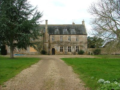
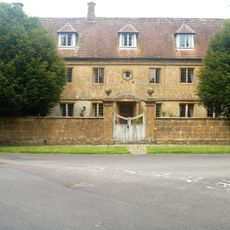
Tintinhull Court, Medieval parsonage in Tintinhull, England
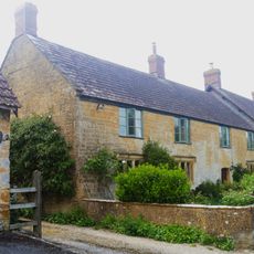
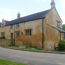
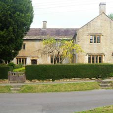
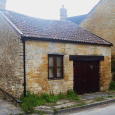
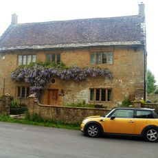
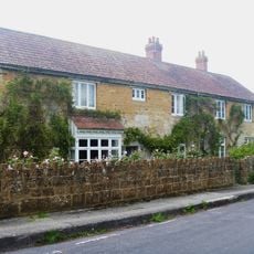
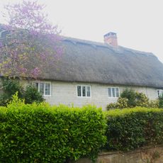
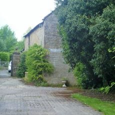
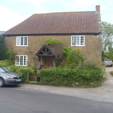
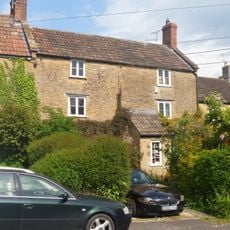
Tintinhull Court is a medieval parsonage built in Hamstone in a small village in Somerset. The building was modified several times, with major renovations in the 17th, 18th, and early 20th centuries that show its evolution from a modest medieval structure into a larger manor house.
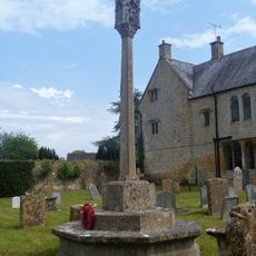
The building dates from the Middle Ages and originally stood under the control of the nearby Montacute Priory. After the dissolution of the monasteries, it passed into royal ownership and was later sold to Sir William Petre.
The place takes its name from the village and shows how prosperous clergy lived during the Middle Ages. The rooms and their layout tell the story of the family's standing in the parish.
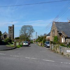
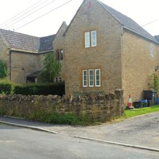
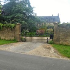
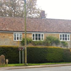
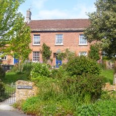
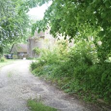
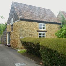
The building stands in a quiet village surrounded by farmhouses from past centuries. To experience it fully, visitors should allow time for a leisurely walk around the area and explore the surroundings.
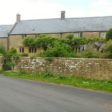
A family purchased the building in the early modern period and kept it in their hands for generations. This long ownership allowed them to gradually reshape the structure to suit their needs.
Location: Tintinhull
GPS coordinates: 50.97470,-2.71556
Latest update: December 14, 2025 14:24
Church of St Margaret, Tintinhull
38 m
Boundary Or Direction Stone 6 Metres North Of No 15 (Batcombe House)
397 m
The Gables
380 m
Queens Farmhouse And Front Boundary Wall
272 m
Pair Of Barns About 5 Metres South West Of Lamb Farmhouse
172 m
The Dower House
168 m
Lamb Farmhouse And Pump One Metre North West Of Doorway
195 m
Francis House
165 m
East Boundary Wall To Tininhull Court With Gateway And Return On North Side To Churchyard
94 m
Walters Farmhouse And Front Boundary Wall
167 m
The Former 'stonyn' Door In Churchyard About 5 Metres South Of Vestry, Church Of St Margaret
32 m
Churchyard Cross In Churchyard About 6 Metres East South East Of Chancel, Church Of St Margaret
34 m
Outbuilding About 2 Metres East Of Lamb Farmhouse
208 m
Leach's And Front Boundary Walling
337 m
Winters Farmhouse
172 m
Court Dairy House
276 m
Outbuilding About 20 Metres North East Of The Dower House And Attached Gateway Towards West Corner
201 m
Batcombe House
405 m
32 And 34, Queen Street
342 m
Rosecott
235 m
4, Queen Street
161 m
The Old Bakery
318 m
Outbuilding About 5 Metres North Of Walters Farmhouse
175 m
The Old Vicarage
396 m
Littlehayes And No 30
328 m
K6 Telephone Kiosk
128 m
Outbuilding About 2 Metres South Of Winters Farmhouse
153 m
Milestone, Head Street, jct with St Margaret's Road
391 mVisited this place? Tap the stars to rate it and share your experience / photos with the community! Try now! You can cancel it anytime.
Discover hidden gems everywhere you go!
From secret cafés to breathtaking viewpoints, skip the crowded tourist spots and find places that match your style. Our app makes it easy with voice search, smart filtering, route optimization, and insider tips from travelers worldwide. Download now for the complete mobile experience.
A unique approach to discovering new places❞
— Le Figaro
All the places worth exploring❞
— France Info
A tailor-made excursion in just a few clicks❞
— 20 Minutes