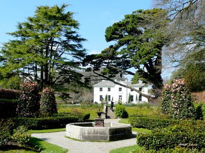
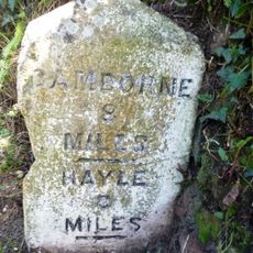
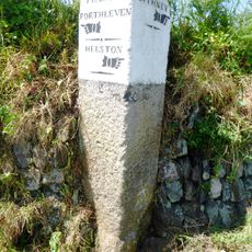
Trevarno, Cornwall, English country house in Crowntown, Cornwall, United Kingdom.
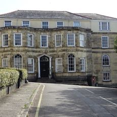
Trevarno is an English country house in Crowntown, Cornwall, set within gardens that include a lake, water features, and a former mill on the grounds. The building itself combines walls from the 14th century with later additions that were added over the following centuries.
The estate dates to the 13th century, when Randolphus de Varno first established his holding on this land. The oldest surviving walls of the house go back to the 14th century, though later owners rebuilt and expanded it over the following periods.
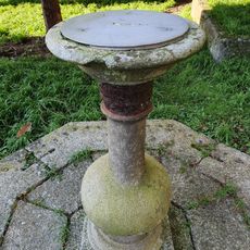
The name Trevarno comes from Randolphus de Varno, the medieval owner who first held this land. The gardens show several layers of design from different periods, including Italian-style features around the water that visitors can still walk through today.
The grounds cover a large area, so comfortable walking shoes are a good idea before heading out to explore the lake and garden sections. It helps to allow plenty of time, as the different parts of the property are spread across the terrain and worth exploring at a slow pace.
Between 1998 and 2011, the property housed a national gardening museum that drew visitors from across the country. That period left a lasting mark on how the gardens are cared for and presented to anyone who walks through them today.
The community of curious travelers
AroundUs brings together thousands of curated places, local tips, and hidden gems, enriched daily by 60,000 contributors worldwide.