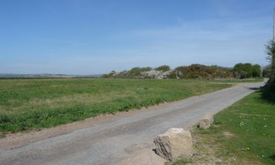
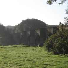
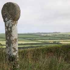
Kelly Rounds, Iron Age hillfort in Egloshayle, England.
Kelly Rounds is an Iron Age hillfort with concentric defensive walls and ditches arranged across a diameter of roughly 230 meters on multiple levels. The inner structures are partly cut into bedrock, revealing how carefully the builders planned the layout.
The settlement began around 1250 to 950 BC, but reached its main phase as a fortified complex between 400 and 100 BC. These two periods show the key development of the site from early establishment to full defensive use.
The northern section shows the original defensive layout that people constructed here, while farming activities across the centuries gradually shaped what visitors see in the southern part today.
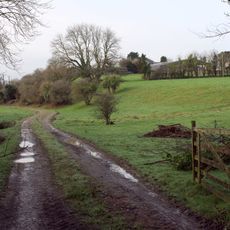
The site is open and located near the A39 road, roughly two kilometers east of Wadebridge, making it straightforward to reach. Wear sturdy footwear since the ground is uneven and the ditches create deep hollows to navigate.
Recent archaeological investigations uncovered additional annexes through cropmark patterns, suggesting this site was more extensive than previously believed. This reveals that the original fortification was part of a larger community settlement than scholars initially understood.
The community of curious travelers
AroundUs brings together thousands of curated places, local tips, and hidden gems, enriched daily by 60,000 contributors worldwide.