Triggshire, Ancient administrative hundred in northern Cornwall, United Kingdom
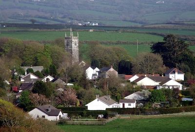
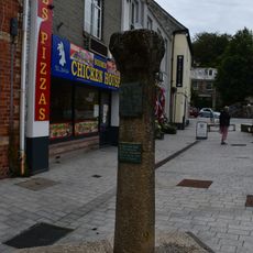
Triggshire is an ancient administrative region spanning across Bodmin Moor, encompassing the town of Bodmin and several surrounding districts. The territory covers twelve parishes with a mix of small villages and open moorland landscape.
The name Triggshire first appeared in the 7th century as Pagus Tricurius, meaning land of three war hosts, reflecting its military role in early Britain. The area served as a gathering point for regional forces during the early medieval period.
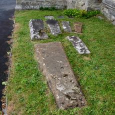
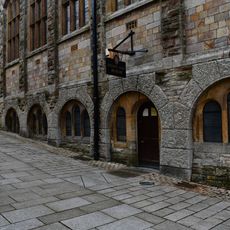
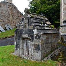
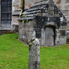
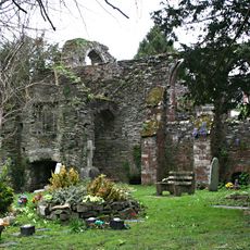
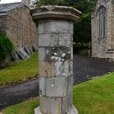
The twelve parishes showcase their medieval parish churches that still serve as focal points for community life and reflect how important religion has always been to the local population.
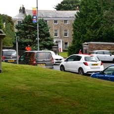
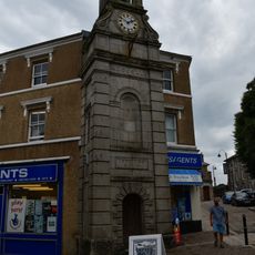
The region now forms part of the Archdeaconry of Bodmin and Diocese of Truro, with local administrative offices in the town of Bodmin. Visitors can explore the various parish churches on foot or drive between the scattered villages across the moorland.
Archaeological finds at Tintagel Castle reveal imported pottery showing the area's importance as a regional meeting point in ancient times. These discoveries suggest the region was already a place where different communities gathered and traded.
GPS coordinates: 50.47100,-4.71700
Latest update: December 13, 2025 11:47
St Petroc's Parish Church
47 m
Shire Hall
145 m
Honey Street drill hall, Bodmin
73 m
Six Coffin Stones Immediately To South Of Church Of St Petroc
34 m
The Courtroom Experience
147 m
4 and 5, Church Square
65 m
Monument Immediately South East Of No 19 Honey Street
75 m
Bodmin Town Museum
159 m
The Weavers Public House
100 m
The Guardian Building
80 m
St Guron's Well
45 m
4, Mount Folly Square
104 m
13, Honey Street
96 m
9, Honey Street
106 m
Priory House
101 m
Stone Cross (Remains) Approximately 5 Metres West Of West End Of Church Of St Petroc
45 m
2, Fore Street
139 m
Ruins Of The Chapel Of St Thomas Becket
75 m
Clock Tower And Turret House
124 m
Liddels
75 m
1, Mount Folly Square
144 m
7, Honey Street
111 m
Column, Approximately 10 Metres West Of West End Of Church Of St Petroc
47 m
Fountain, Walls And Steps Fronting Road West Of Church Of St Petroc
52 m
3, Mount Folly Square
110 m
12, Honey Street
83 m
Shire House
125 m
15, Honey Street
92 mVisited this place? Tap the stars to rate it and share your experience / photos with the community! Try now! You can cancel it anytime.
Discover hidden gems everywhere you go!
From secret cafés to breathtaking viewpoints, skip the crowded tourist spots and find places that match your style. Our app makes it easy with voice search, smart filtering, route optimization, and insider tips from travelers worldwide. Download now for the complete mobile experience.
A unique approach to discovering new places❞
— Le Figaro
All the places worth exploring❞
— France Info
A tailor-made excursion in just a few clicks❞
— 20 Minutes