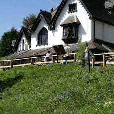
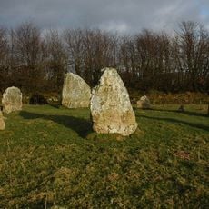
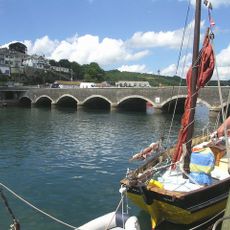
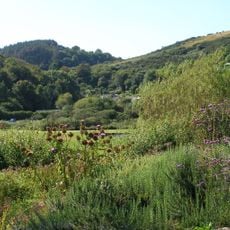
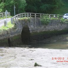
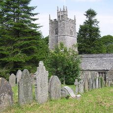
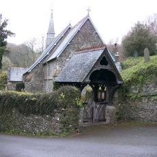
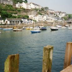
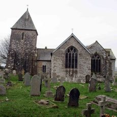
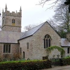
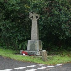
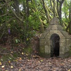
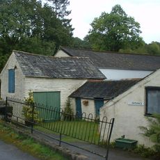
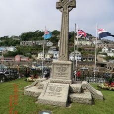
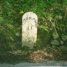
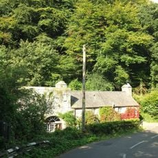
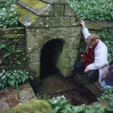
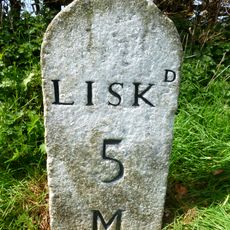
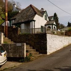
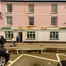
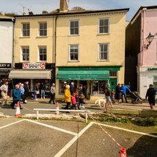
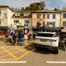
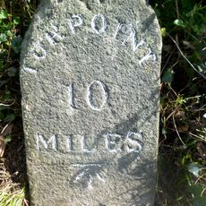
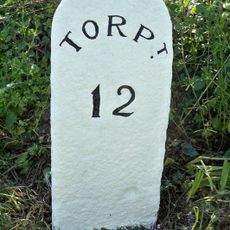
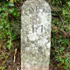
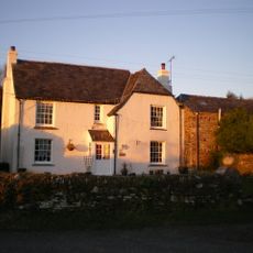
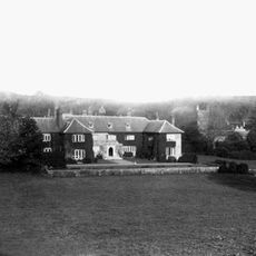
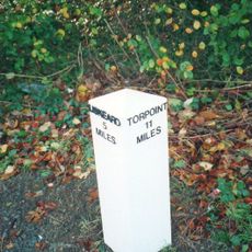
Morval, hamlet and civil parish in Cornwall, United Kingdom
Location: Cornwall
Elevation above the sea: 65.4 m
Shares border with: Wringworthy
GPS coordinates: 50.38400,-4.44800
Latest update: March 6, 2025 22:57
Monkey Sanctuary
3.2 km
Duloe stone circle
3 km
Bridge Over East Looe River And Lamp Standards
3.1 km
Seaton Valley Countryside Park
4.4 km
Terras Pill Bridge
1.6 km
Church of St Martin by Looe
1.6 km
Church of St Anne
4.8 km
Looe Estuary
3.2 km
Church of St Cuby
3 km
Church of St Wenna
76 m
Morval War Memorial
468 m
St Cuby's Well
2.4 km
Magnificent Music Machines
4.5 km
Looe War Memorial
3.1 km
Milestone 350M To West Of Hessenford
4.4 km
Higher Cliff
1.3 km
St Keyne's Well And Cross To South East
3.8 km
Milestone 250M To South West Of War Memorial
2.8 km
Cobwalls
2.7 km
Lloyds Bank Limited
3.2 km
Gregorys Looe Newes
3.2 km
Black Horse Agencies Looe Bakery
3.2 km
Milestone At Sx 319 574
5.9 km
Milestone, Shortacross
3 km
Milestone 350M North East Of Great Tree
981 m
Penvith Farmhouse
2.7 km
Morval House
76 m
Milepost, Westbound carriageway, by Trebrownbridge signpost
5.3 kmReviews
Visited this place? Tap the stars to rate it and share your experience / photos with the community! Try now! You can cancel it anytime.
Discover hidden gems everywhere you go!
From secret cafés to breathtaking viewpoints, skip the crowded tourist spots and find places that match your style. Our app makes it easy with voice search, smart filtering, route optimization, and insider tips from travelers worldwide. Download now for the complete mobile experience.
A unique approach to discovering new places❞
— Le Figaro
All the places worth exploring❞
— France Info
A tailor-made excursion in just a few clicks❞
— 20 Minutes