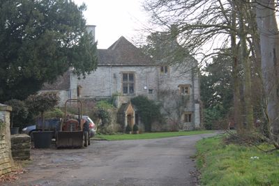
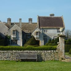
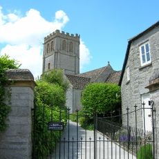
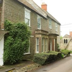
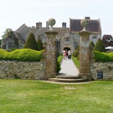
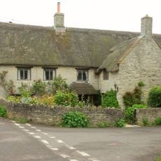
The Abbey, Charlton Adam, Grade I listed country house in Charlton Adam, England
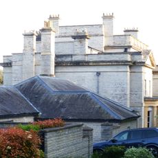
The Abbey is a two-story country house in Charlton Adam with an attached three-story block, built from blue lias stone and ham stone with clay tile roofs and octagonal ashlar chimneys. The interior contains a drawing room with a detailed oak fireplace overmantel and multiple other chambers arranged across different levels.
The structure was built in the late 16th century on the site of a 13th-century chapel, and underwent various modifications across the following centuries. The building received its Abbey name by 1849, despite having no connection to actual monastic use.
The rooms inside blend elements from different time periods, with medieval traces sitting alongside Elizabethan wood paneling and detailed fireplace work that shows skilled craftsmanship from various eras. Visitors can see how these layers of decoration reveal how people lived and worked across different centuries in the same rooms.
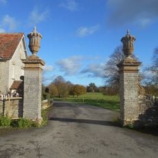
The house extends across multiple levels with the main block and side section clearly divided, allowing visitors to move through different floor levels to explore all the rooms. Being a protected building, the layout and original features have been carefully maintained for viewing.
The building carries its Abbey name despite never serving as an actual monastery, a fact that often confuses visitors researching its background. This naming quirk happened centuries after construction when local usage simply stuck to calling it by this grand-sounding title.
The community of curious travelers
AroundUs brings together thousands of curated places, local tips, and hidden gems, enriched daily by 60,000 contributors worldwide.