
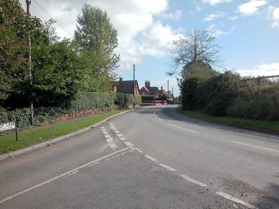
Saighton, village and former civil parish in Cheshire, UK
Location: Aldford and Saighton
GPS coordinates: 53.15000,-2.83333
Latest update: March 14, 2025 08:07
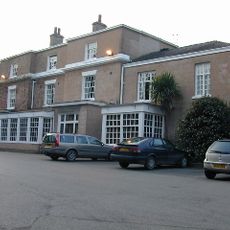
Rowton Hall Hotel
2.5 km
Saighton Grange
67 m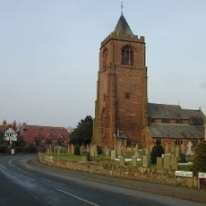
St Peter's Church, Waverton
2.4 km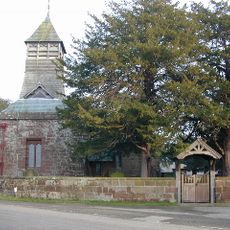
St Mary's Church
1.3 km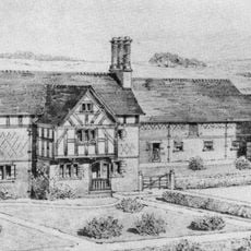
Saighton Lane Farm
1.3 km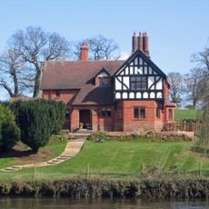
Eccleston Ferry House
2.8 km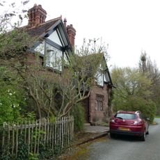
Eaton Boat
2.6 km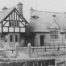
Waverton school and schoolmaster's house
2.4 km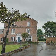
Golborne Old Hall
2.7 km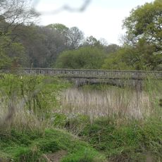
Bridge carrying Buerton Approach over Aldford Brook
2.9 km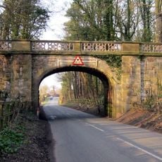
Bridge carrying Buerton Approach over Chester Road
2.7 km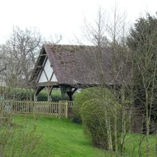
Bandstand in Eccleston Ferry Farmhouse garden
2.8 km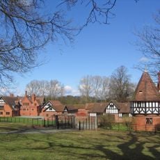
Stud Stables
2.8 km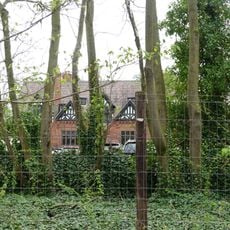
Eaton Estate Office
2.8 km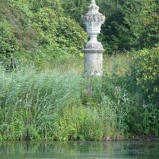
Large urn east of fish pond
2.8 km
Abbey Gate College Gatehouse Gateway
70 m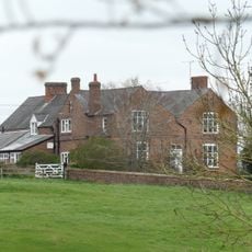
Cheaveley Hall Farmhouse
2.3 km
L-shaped range of farmbuildings at Cheaveley Hall Farm
2.4 km
Corn Barn 30 Metres North Of Golborne Old Hall
2.7 km
Bruera moated site and adjacent field system
1.4 km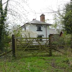
House east of stud
2.7 km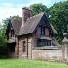
Garden Lodge, yard walls and attached storeshed and domestic offices
2.9 km
Pair of gates, railings and screen walls adjoining Garden Lodge
2.8 km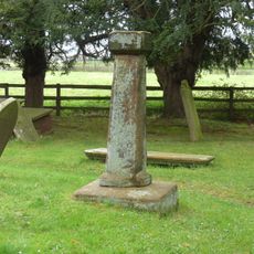
Standing cross in St Mary's churchyard
1.4 km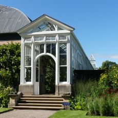
Long Greenhouse east of southern walled garden
2.9 km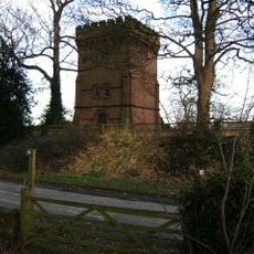
Water Tower
264 m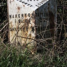
Milepost, Hatton Heath, S of Lodge Farm and Power Movers
1.4 km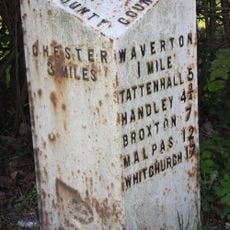
Milepost, Rowton Moor
2.5 kmVisited this place? Tap the stars to rate it and share your experience / photos with the community! Try now! You can cancel it anytime.
Discover hidden gems everywhere you go!
From secret cafés to breathtaking viewpoints, skip the crowded tourist spots and find places that match your style. Our app makes it easy with voice search, smart filtering, route optimization, and insider tips from travelers worldwide. Download now for the complete mobile experience.

A unique approach to discovering new places❞
— Le Figaro
All the places worth exploring❞
— France Info
A tailor-made excursion in just a few clicks❞
— 20 Minutes