Enable Location

We need your location to show you interesting places around you

Discover nearby places

Find interesting locations and hidden gems around you

Precise directions

Get accurate directions and distances to places

Your location is never shared with other users. It's only used when you tap the location button.

Mynydd Marchywel

Log in to your account

Start exploring — it's free

Trusted by 62,916 travelers worldwide

Continue with Google
Continue with Apple
or

We will send you a code to connect

By continuing, you accept our Terms and Conditions and our Privacy Policy

Check your inbox

We've sent a pincode in your inbox. Please enter the code below.

Mynydd Marchywel
Discussion Reviews 1 Photos
1.1k Popularity

Mynydd Marchywel, Hill summit in Neath Port Talbot County Borough, United Kingdom.

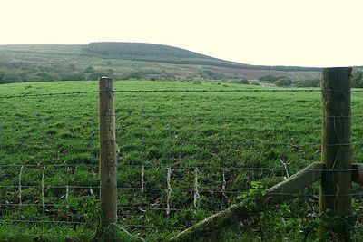
Mynydd Marchywel is a hill summit in Neath Port Talbot County Borough that rises to 418 meters and features a prominent cairn at its peak. The location offers wide views across the surrounding valleys and ridges typical of this part of Wales.

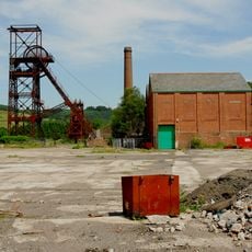
The hill lies within the former South Wales Coalfield and contains remnants of two medieval platform houses on its southeastern slopes. These archaeological traces reveal early settlement and land use patterns in this region during the medieval period.

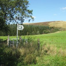
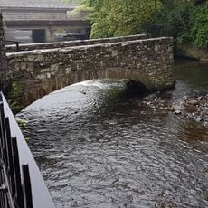
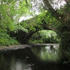
Saint Illtyd's Walk traverses the northern slopes of Mynydd Marchywel, connecting the communities of Ynysmeudwy and Crynant through this ancient pathway.

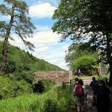
Forest tracks and open pathways provide straightforward access to the summit for walkers of various abilities. The western flanks remain open and accessible, allowing visitors to explore the hill from multiple directions without restrictions.

The hill contains layers of Pennant Sandstone with mudstone and coal seams, marking its connection to the South Wales Coalfield geological formation.

The community of curious travelers

AroundUs brings together thousands of curated places, local tips, and hidden gems, enriched daily by 60,000 contributors worldwide.

Start exploring
Elevation above the sea
418 m
GPS coordinates
51.71910,-3.78470
Latest update
December 14, 2025 18:41
Reviews
Share your experience

No review yet

Discussions
Start a discussion...

No discussion yet

« Mynydd Marchywel - Hill summit in Neath Port Talbot County Borough, United Kingdom » is provided by Around Us (aroundus.com). Images and texts are derived from Wikimedia project under a Creative Commons license. You are allowed to copy, distribute, and modify copies of this page, under the conditions set by the license, as long as this note is clearly visible.

Discover hidden gems everywhere you go!

From secret cafés to breathtaking viewpoints, skip the crowded tourist spots and find places that match your style. Our app makes it easy with voice search, smart filtering, route optimization, and insider tips from travelers worldwide. Download now for the complete mobile experience.

Around Us App Screenshot

A unique approach to discovering new places

Le Figaro

All the places worth exploring

France Info

A tailor-made excursion in just a few clicks

20 Minutes

Around Us
Travel Guide & Maps
Download

Send to your phone

QR Code
1

Open the camera app on your mobile.

2

Point at the QR code with your camera. A notification will appear.

3

Tap the notification to open the link.