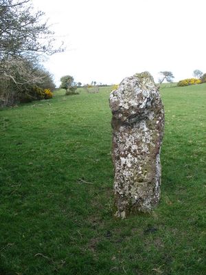
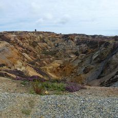
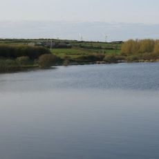
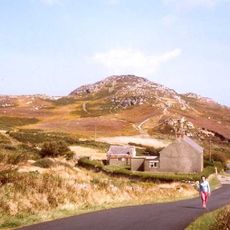
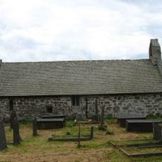
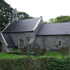
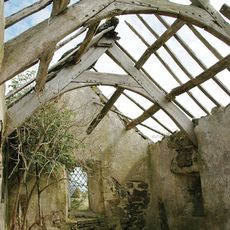
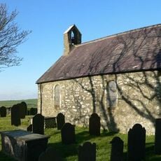
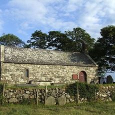
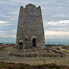
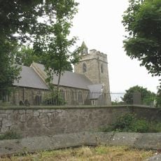
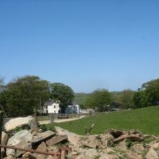
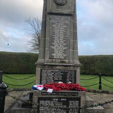
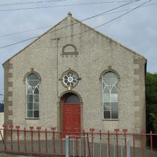
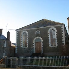
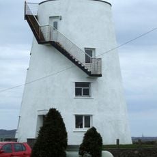
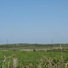
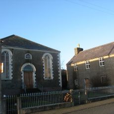
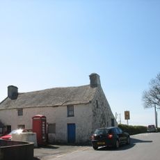
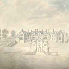
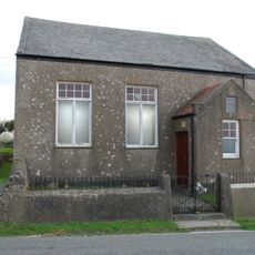
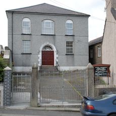
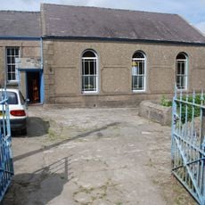
Rhosybol, village and community in Anglesey in north-west Wales
Location: Isle of Anglesey
Inception: April 1, 1974
Shares border with: Llanddyfnan, Llaneilian, Mechell, Llannerch-y-medd, Amlwch Community, Tref Alaw, Moelfre
GPS coordinates: 53.36800,-4.36800
Latest update: March 23, 2025 05:56
Parys Mountain
2.8 km
Ysgol Syr Thomas Jones
4 km
Llyn Alaw
3.5 km
Mynydd Bodafon
5.4 km
St Pabo's Church
5 km
St Tyfrydog's Church
3.5 km
St Mary's Church
3.8 km
St Mary's Church, Bodewryd
3.4 km
St Ceidio's Church
3.1 km
Parys Mountain Windmill
2.8 km
St Mary's Church, Llannerch-y-medd
4.3 km
Plas Bodewryd
3.6 km
Bodewryd Standing Stone
2.7 km
Capel Mwd
1.4 km
Capel Ifan
4.2 km
Capel Saron
3.4 km
Llanerchymedd War Memorial
4.3 km
Capel Bethania, Rhosybol
640 m
Capel Bozrah
4.1 km
Llanerchymedd Windmill
4.5 km
Llyn Hafodol a Chors Clegyrog
3.3 km
School Room and Store at Capel Bozrah
4.1 km
Former Post Office
5.4 km
Pearl Engine House
3.3 km
Llwydiarth Esgob
4.1 km
Hebron Welsh Independent Chapel
5.1 km
Capel Ifan
4.2 km
Seion Independent Chapel
3.4 kmReviews
Visited this place? Tap the stars to rate it and share your experience / photos with the community! Try now! You can cancel it anytime.
Discover hidden gems everywhere you go!
From secret cafés to breathtaking viewpoints, skip the crowded tourist spots and find places that match your style. Our app makes it easy with voice search, smart filtering, route optimization, and insider tips from travelers worldwide. Download now for the complete mobile experience.
A unique approach to discovering new places❞
— Le Figaro
All the places worth exploring❞
— France Info
A tailor-made excursion in just a few clicks❞
— 20 Minutes