Llanymynech Heritage Area, Industrial heritage site in Llanymynech, United Kingdom.
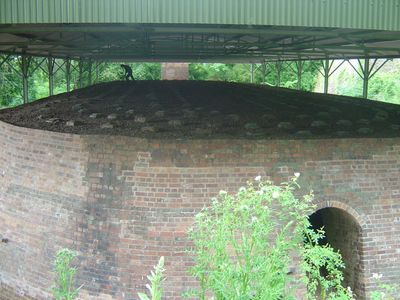
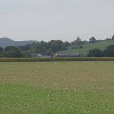
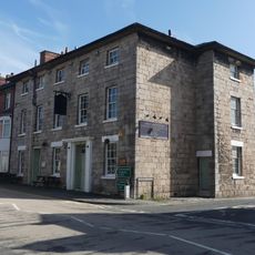
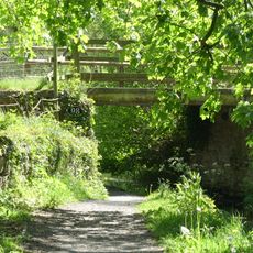
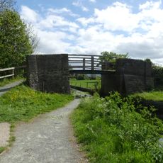
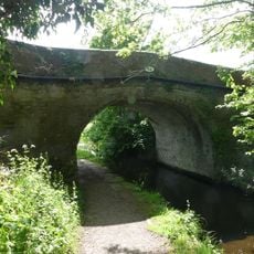
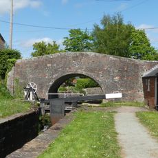
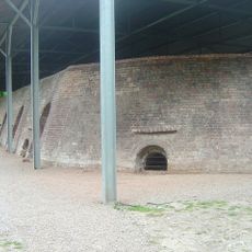
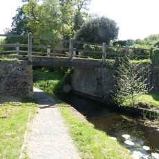
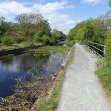
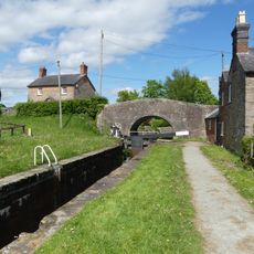
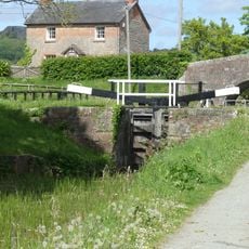
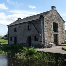
Llanymynech Heritage Area is an industrial site straddling the England-Wales border with limestone quarries, woodland, and old structures from extractive operations. Walking routes wind through different levels of the landscape, passing quarry faces and former processing areas.
The site began as a major limestone production center around 1750 using canal networks to distribute materials across the region. Operations continued through the 1800s before gradually declining in the early 1900s.
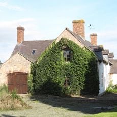
Today the site draws walkers interested in exploring how people once worked and lived alongside industrial operations in this border region. The remaining structures tell stories of what mattered to communities here over generations.
Multiple walking routes of varying length are available throughout the site, allowing visitors to choose based on time and fitness level. Information panels are positioned along the paths to explain the industrial processes that once occurred here.
The site contains a prehistoric hill fort alongside the industrial remnants, showing that human activity shaped this location across thousands of years. This layering of time periods creates a distinctly different experience from typical industrial sites.
GPS coordinates: 52.78300,-3.08700
Latest update: December 14, 2025 14:22
Carreghofa Castle
1.6 km
Church of St Agatha
360 m
Circular Churchyard & Pillar Sundial at Church of St.Tysilio,The Street (A483)
1.9 km
Church of St.Tysilio
1.8 km
Cross Keys Inn
236 m
Bridge (No.98) over Montgomeryshire Canal, Pentreheylin
2.2 km
No 1 The Locks (former Wharfinger's House) including brick boundary wall to road, Carreghofa Locks
1.7 km
The Old School Adjoining Llandysilio Churchyard,The Street (A483)
1.9 km
Parson's Bridge (No.99) over Montgomeryshire Canal, Parson's Lane
2.2 km
Wern Bridge (Number 94) Causeway Lane, Wern
1.2 km
Bridge 95 over the Montgomeryshire Canal adjoining No 1 The Locks, Carreghofa Locks
1.7 km
Lock-keeper's cottage adjoining lower lock chamber on Montgomeryshire Canal, Carreghofa Locks
1.7 km
The Golden Lion, The City (B4393) Four Crosses
2.4 km
Hoffman Kiln
96 m
Pentreheylin Bridge (No.97) over the Montgomeryshire Canal, Pentreheylin
2.1 km
Three-arch aqueduct over Vyrnwy flood plain (southern arches) New Bridge Vyrnwy
2 km
Lock Gates and Paddle Gear,Carreghofa Locks
1.6 km
Plas Cerrig
833 m
Pant Bridge
1.5 km
Gate Piers Approximately 30 Metres East Of Chancel Of Church Of St Agatha
357 m
Boundary stone at NGR SJ 2660 2118 (that part in Llanymynech and Pant CP)
178 m
Ty-Croes
247 m
Lower Lock Chamber, Carreghofa Locks
1.7 km
Aqueduct carrying Montgomeryshire Canal over River Vyrnwy (lies partly In Llandysilio Community Area
2.1 km
Lock gates and paddle gear, Carreghofa Locks
1.7 km
Pont Llanymynech ,llanymynech
714 m
Shropshire Union Canal, Limekilns At Ngr Sj 2744 2183
938 m
Former Salt Warehouse at Newbridge, Pentreheylin
2.1 kmVisited this place? Tap the stars to rate it and share your experience / photos with the community! Try now! You can cancel it anytime.
Discover hidden gems everywhere you go!
From secret cafés to breathtaking viewpoints, skip the crowded tourist spots and find places that match your style. Our app makes it easy with voice search, smart filtering, route optimization, and insider tips from travelers worldwide. Download now for the complete mobile experience.
A unique approach to discovering new places❞
— Le Figaro
All the places worth exploring❞
— France Info
A tailor-made excursion in just a few clicks❞
— 20 Minutes