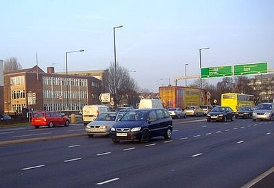
Henlys Corner, Traffic interchange at North London, England
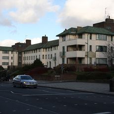
Henlys Corner is a traffic interchange in North London connecting the A1 and North Circular Road through a complex system of roads. The junction features multiple lanes and slip roads that direct traffic in various directions across this busy metropolitan intersection.
The junction began as part of the 1928 Barnet Bypass, an early infrastructure project designed to divert traffic away from central areas. The Henlys Group garage, which operated at the southwest corner from 1935, represents the commercial activity that grew around this newly formed traffic route.
The area features specialized pedestrian crossings that support the local Jewish community, allowing road crossing during religious observances without using electronic buttons. This design reflects the diversity of the community that lives and works around this junction.
The location is served by several bus routes, including lines 102, 13, 112, 232, and 460, connecting Finchley Church End, Temple Fortune, and Golders Green. Visitors should be aware this is a busy traffic junction, so wearing bright clothing and paying close attention to traffic signals is recommended.
The junction underwent a major modernization in 2011 that introduced new traffic management systems and improved road surfaces. This upgrade proved a significant step in improving traffic flow through this critical London traffic corridor.
The community of curious travelers
AroundUs brings together thousands of curated places, local tips, and hidden gems, enriched daily by 60,000 contributors worldwide.