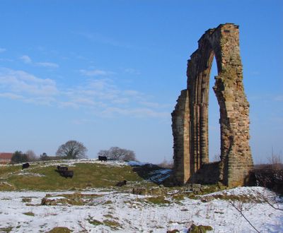
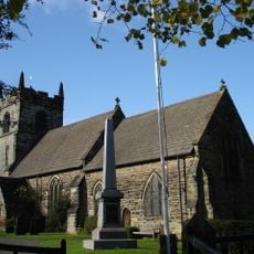
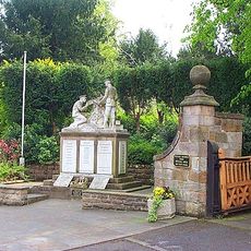
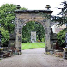
Dale Abbey, 12th-century monastery ruins in Derbyshire, England.
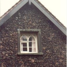
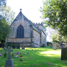
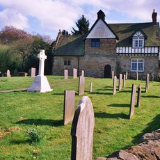
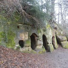
Dale Abbey is a set of monastery ruins in the village of Dale Abbey, Derbyshire, England, consisting of foundation walls that trace the outline of the former complex and a tall Gothic chancel window that still stands almost intact. The site also includes a sandstone hermit cave with carved doorways, window openings, and an interior niche cut directly into the rock.
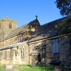
The monastery was founded in the 12th century by monks of the Premonstratensian order and remained active for over three centuries before it was dissolved under Henry VIII in the 1530s. After the dissolution, most of the buildings were left to fall apart, though the chapel and the cave were kept in use by the local community.
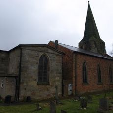
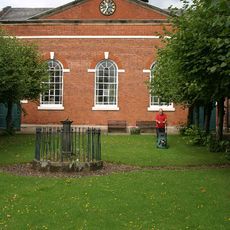
The small chapel on the site is still used for regular worship and is one of the smallest active churches in England. It stands right next to a cave dwelling carved into a sandstone rock face, which visitors can walk into and explore freely.
The site sits on fairly level ground and can be visited at any time of year, with no particular physical demands for most visitors. It is worth setting aside enough time to see both the open ruins and the cave dwelling, as they are set apart from each other and each rewards a slow look.
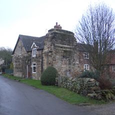
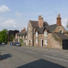
After the monastery closed, a local inn was built directly against the chapel wall, meaning that for several generations churchgoers and tavern customers shared the same building. This side-by-side arrangement, unusual even by the standards of rural England, lasted well into more recent times.
The community of curious travelers
AroundUs brings together thousands of curated places, local tips, and hidden gems, enriched daily by 60,000 contributors worldwide.