
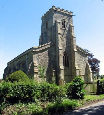
Church of St Mary, church in Ludgershall, Buckinghamshire, England, United Kingdom
Location: Aylesbury Vale
Location: Ludgershall
Inception: 14 century
GPS coordinates: 51.84950,-1.04341
Latest update: March 4, 2025 04:34

Wotton House
2.7 km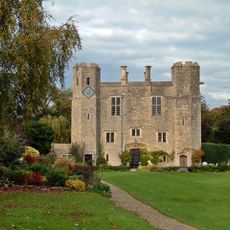
Boarstall Tower
4.6 km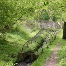
Boarstall Duck Decoy
4.2 km
Dorton House, Buckinghamshire
3.8 km
Rushbeds Wood
1.8 km
Stoke Common
2.7 km
Ham Home-cum-Hamgreen Woods
3.9 km
Muswell Hill, Buckinghamshire
2.7 km
Long Herdon Meadow
3.2 km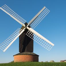
Brill Windmill
3.2 km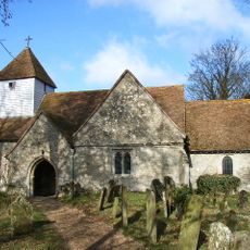
Church of St John the Baptist, Dorton
3.8 km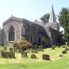
Church of All Saints, Wotton Underwood
3.1 km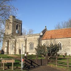
Church of St Leonard
4.2 km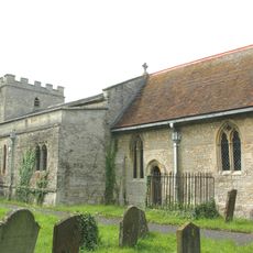
Church of St Nicholas
2 km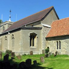
Church of All Saints
3.4 km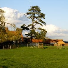
Moat Farmhouse
3.8 km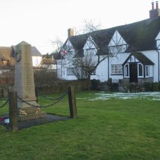
Grendon Underwood War Memorial
4.1 km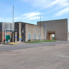
K2 Test Stand, Former Royal Ordnance Establishment, Westcott
4.5 km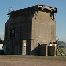
K1 Test Stand, Control Room And Ancillary Building, Former Royal Ordnance Establishment, Westcott
4.5 km
Boarstall War Memorial
4.6 km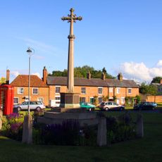
War Memorial
3.4 km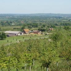
Corble Farmhouse
2.5 km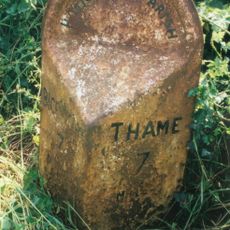
Milepost, Foresters; Boarstall Wood
4.5 km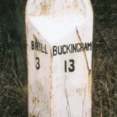
Milepost, Kingswood Lane; Long Wood, N of turn to Clearfields Farm
1.6 km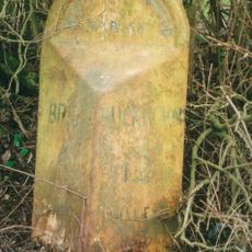
Milepost, Kingswood Lane; N of Windmill Hill
2.4 km
Milepost, Grendon Lane; 100m N of A41 jct, near Foxden Cottage
3.7 km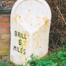
Milepost, Main Street; S of Great Underwood Post Office, by Little Grove
4.2 km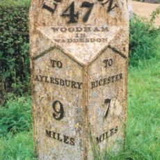
Milepost, by car park of the Crooked Billet PH
3.7 kmVisited this place? Tap the stars to rate it and share your experience / photos with the community! Try now! You can cancel it anytime.
Discover hidden gems everywhere you go!
From secret cafés to breathtaking viewpoints, skip the crowded tourist spots and find places that match your style. Our app makes it easy with voice search, smart filtering, route optimization, and insider tips from travelers worldwide. Download now for the complete mobile experience.

A unique approach to discovering new places❞
— Le Figaro
All the places worth exploring❞
— France Info
A tailor-made excursion in just a few clicks❞
— 20 Minutes