
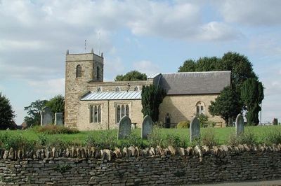
Church of St Simon and St Jude, 12th century parish church in Castlethorpe, Borough of Milton Keynes
Location: Castlethorpe
Inception: 1190
GPS coordinates: 52.09310,-0.83502
Latest update: March 5, 2025 06:33
Cosgrove aqueduct
2.7 km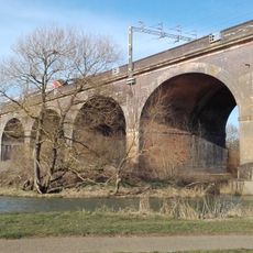
Wolverton Viaduct
2.8 km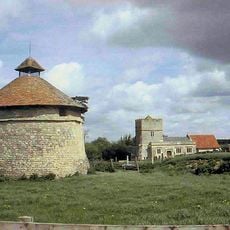
Furtho
3 km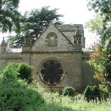
Holy Trinity Church
3.2 km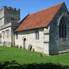
St Bartholomew's Church, Furtho
2.9 km
Mill Crook
3.2 km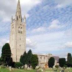
Church of St James the Great
2.3 km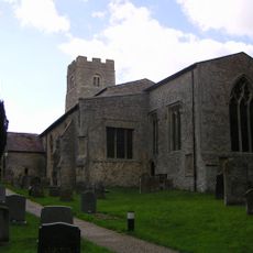
Parish Church of St Mary
3.3 km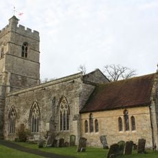
Church of St Peter and St Paul
2.2 km
The Carrington Arms Public House
117 m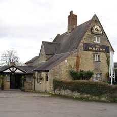
The Barley Mow Public House
2 km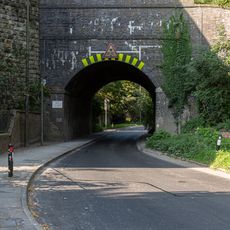
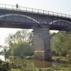
Railway Bridge 171D (Skew Bridge)
3.4 km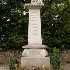
Castlethorpe War Memorial
39 m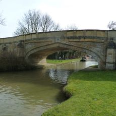
Bridge Number 65
1.9 km
Wolverton Castle
3.1 km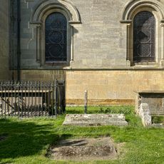
Two Chest Tombs To The South Of The Nave Of The Church Of The Holy Trinity
3.2 km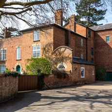
Old Wolverton Mill
3.4 km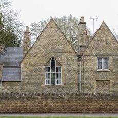
Former School And School House
3.4 km
Outbuildings At Manor Farm To North And East Of Manor Farm House
2.9 km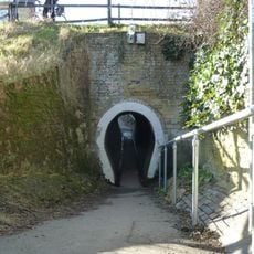
The Horse Tunnel
2 km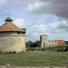
Dovecote At Manor Farm
3 km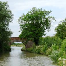
Grand Union Canal Bridge Number 63 At Sp 781 445
1.8 km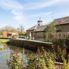
Barn And Coach House To East Of Old Wolverton Mill
3.4 km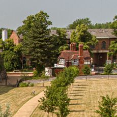
Former Wolverton Park Keeper's Lodge, Wolverton Park
3.5 km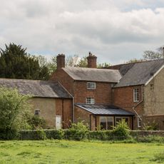
Wolverton Park
3.5 km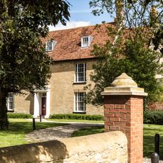
Manor Farm House
2.9 km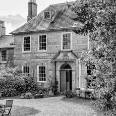
Longueville Court
3.3 km
Motte and bailey castle, deserted village and monastic grange at Old Wolverton
3.1 kmReviews
Visited this place? Tap the stars to rate it and share your experience / photos with the community! Try now! You can cancel it anytime.
Discover hidden gems everywhere you go!
From secret cafés to breathtaking viewpoints, skip the crowded tourist spots and find places that match your style. Our app makes it easy with voice search, smart filtering, route optimization, and insider tips from travelers worldwide. Download now for the complete mobile experience.

A unique approach to discovering new places❞
— Le Figaro
All the places worth exploring❞
— France Info
A tailor-made excursion in just a few clicks❞
— 20 Minutes