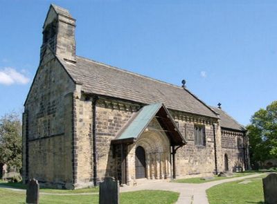
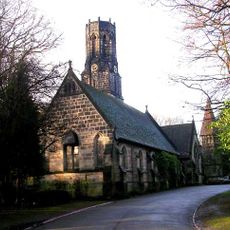
Church of St John the Baptist, Norman church building in Adel, Leeds, England
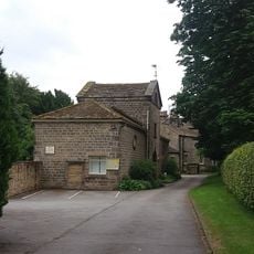
The Church of St John the Baptist is a Norman church in Adel, a northern suburb of Leeds in England. The building has a simple nave and a chancel connected by an ornately carved stone arch, with no side aisles added to either section.
The church was built in the second half of the 12th century and is one of the most complete Norman churches remaining in the north of England. Very few structural changes were made over the following centuries, so the original layout has survived almost intact.
The south doorway is covered in carved stone figures, including animals and religious scenes that follow a Norman Romanesque tradition. Visitors can study each detail up close before even stepping inside the building.
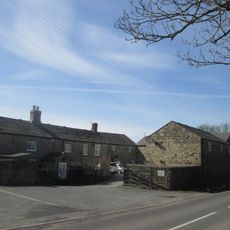
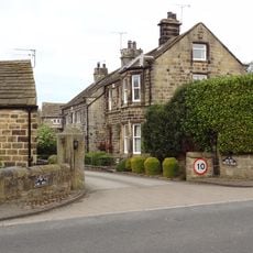
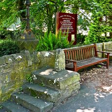
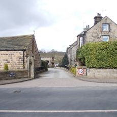
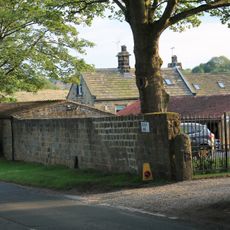
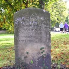
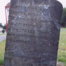
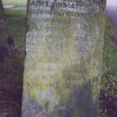
The church sits in a quiet residential area on the edge of Leeds and is easiest to reach by car or bus. It is worth checking opening times before you go, as the building is not always open to visitors every day.
A medieval stone font inside the church has a wooden canopy designed by Eric Gill in 1921. Gill is best known for his typeface work, so finding one of his objects inside a small Norman parish church comes as a surprise to many visitors.
The community of curious travelers
AroundUs brings together thousands of curated places, local tips, and hidden gems, enriched daily by 60,000 contributors worldwide.