
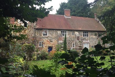
The Priory, Grade I listed priory in Broadland, United Kingdom
Location: Horsham St Faith and Newton St Faith
Inception: 12 century
GPS coordinates: 52.68890,1.27740
Latest update: March 2, 2025 23:53

City of Norwich Aviation Museum
973 m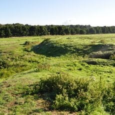
Horsford Castle
1.2 km
Manor Park, Horsford
1.7 km
City of Norwich Aviation Museum
965 m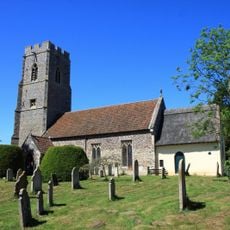
Parish Church of All Saints
1.9 km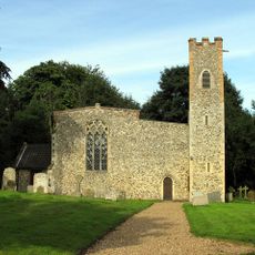
Church of St Peter
2.5 km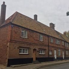
2-5, Church Street
122 m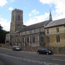
Church of the Blessed Virgin and St Andrew
89 m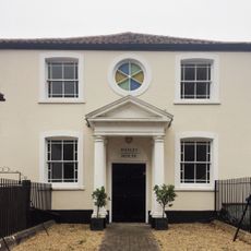
Methodist Church
140 m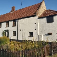
Mill Farm House
891 m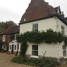
The Gildencroft
343 m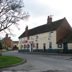
The King's Head Public House
134 m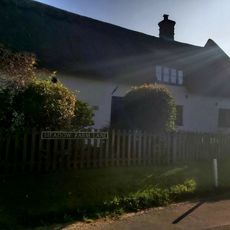
The Oaks
691 m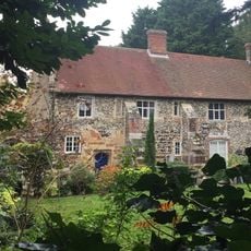
St Faith Priory
29 m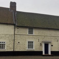
Waytes House
115 m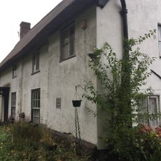
The Kennels
324 m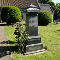
Horsford War Memorial
1.9 km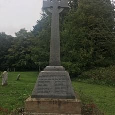
Horsham St Faith War Memorial
97 m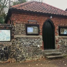
The Clink And Adjoining Boundary Wall To South
217 m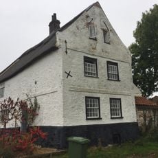
The White House
422 m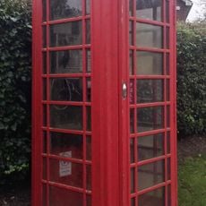
K6 Telephone Kiosk, Norwich Road
206 m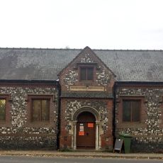
Village Hall
120 m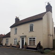
The Old Post House
147 m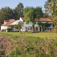
Meadow Farm House
1.4 km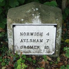
Milestone, Norwich Road, by No. 14
532 m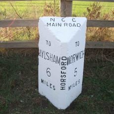
Milepost, c.130m N of road jct
1.9 km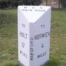
Milepost, 100m S of jct with Drayton Lane
2 km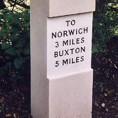
Milestone, Buxton Rd, 2yds S of jct with Quaker Lane
2.6 kmReviews
Visited this place? Tap the stars to rate it and share your experience / photos with the community! Try now! You can cancel it anytime.
Discover hidden gems everywhere you go!
From secret cafés to breathtaking viewpoints, skip the crowded tourist spots and find places that match your style. Our app makes it easy with voice search, smart filtering, route optimization, and insider tips from travelers worldwide. Download now for the complete mobile experience.

A unique approach to discovering new places❞
— Le Figaro
All the places worth exploring❞
— France Info
A tailor-made excursion in just a few clicks❞
— 20 Minutes