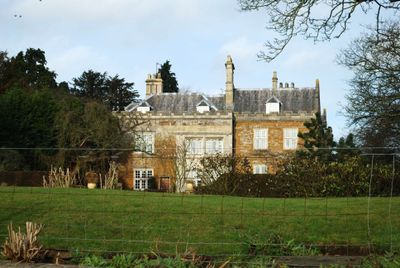
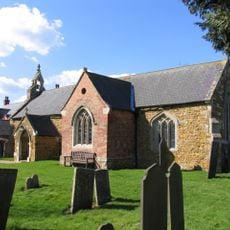
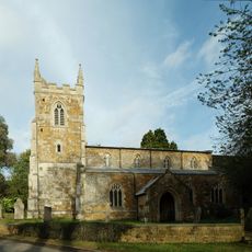
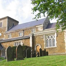
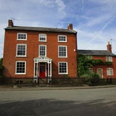
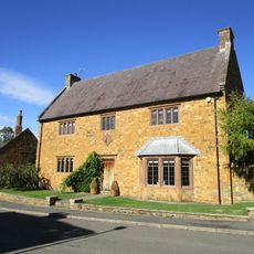
Skeffington Hall, Grade II* listed manor house in Skeffington, England.
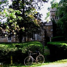
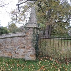
Skeffington Hall is an H-shaped manor house built with coursed ironstone walls accented by white limestone details and topped with slate roofs. The two-story structure sits within parkland and features a rectangular walled garden that provides an organized setting around the main residence.
The building began as a structure in the 1450s and underwent major expansions around 1530 and again during the 17th century. These expansions added the characteristic eight-bay frontage and central porch that define its current appearance.
The hall became the home of the Fernie Hunt when it was established in 1856, connecting the building to regional fox hunting traditions that shaped local society. This role made it a significant gathering place for people interested in field sports and countryside pursuits.
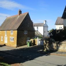
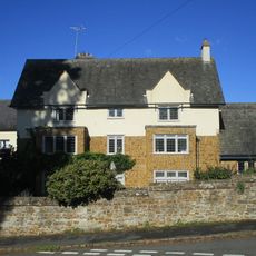
The hall sits back from the main village street in its own parkland setting, creating a sense of separation from the busy road. The property is private and best viewed from public pathways without entering the grounds themselves.
The building features a castellated parapet wedged between two projecting gables, a detail that blends medieval fortification elements with later additions. This distinctive roofline feature shows how the house combined different architectural ideas across its various periods of expansion.
The community of curious travelers
AroundUs brings together thousands of curated places, local tips, and hidden gems, enriched daily by 60,000 contributors worldwide.